

South Brittany maps
The nautical charts of South Brittany cover a large area from the Pointe du Raz to Saint Nazaire, including the islands of Glénan, Lorient, Belle-Île and the Gulf of Morbihan. According to your needs, you will choose maps SHOM to work on large scales and maps NV-Charts, Navicarte or Imray for smaller areas on smaller scales.
HOW TO USE YOUR MARINE CHART
It is important to remember that nautical charts give more or less detailed information depending on the scale and use according to the type of navigation you are planning: the larger the scale, the less detail the chart gives and vice versa. It is often very useful to complete the charts with a nautical guide such as the Atlantic Marine Block. It is therefore essential for any good sailor to know how to read his or her navigation chart. To help you, our teams reveal their advice to you for good how to use a marine chart
FROM THE POINTE DU RAZ TO THE LOIRE ESTUARY
Discover the different navigation charts that cover the French coasts and ports from the Pointe du Raz to the Loire estuary. It covers the coasts of Southern Brittany and all the islands that are popular with yachtsmen. You can find all the information on the Glénanarchipelago , Audierne, Le Guilvinec and Concarneau. Once in Morbihan, you will find all the maps of Lorient, Groix, Quiberon Bay , the Gulf of Morbihan , Houat, Hoëdic or Belle-île. More to the East, you can navigate with maps of Le Croisic, the Baule and Saint Nazaire with the possibility of sailing up the Loire to Nantes. If you wish to sail more on the coasts of North and West Brittany, refer to our range of north Brittany marine charts. In general, you can find on our site, of the navigation maps of the whole worldfrom theOverseas to the North Sea as well as the Mediterranean Sea or the atlantic coast
CHARTS SHOM FOR LICENCES AND PROFESSIONAL EXAMS
Authorized agent of SHOM for many years now, Picksea offers you a complete range of documents coming from this establishment like the examination chartsbut also various books and current charts. For the deep-sea license exam, you must refer to the chart 9999 of SHOM. The latter can also be used for all the exercises to prepare for the exams, as is also the case for the chart 7066 of SHOMThis is also the case for the "Professional Maritime Examination"
OFFSHORE CHARTS FOR OFFSHORE NAVIGATION
For any crossing or offshore navigation, it is essential to plan and prepare your route beforehand in order to take into account any possible hazards, mainly related to weather conditions. The offshore charts have been designed to allow you to easily choose several routes and consider different options. They are folded or rolled paper maps at scales ranging from 1:150,000 to 1:750,000
LAMINATED CHARTS FOR COASTAL NAVIGATION
As you can see, a nautical chart is essential when you are sailing to keep you safe, whether you are sailing offshore or inshore. For coastal navigation, we advise you to opt for laminated nautical charts. They take up little space and are easy to use in order to easily find your route and position Nautical chart they are also very practical for kayaking, catamaran sailing and dinghy sailing
Read more
There are 32 products.
-
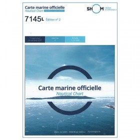
<p>Nautical chart SHOM 7145L. From Triballe to Pornichet. Scale: 1:25000.</p>
available
-
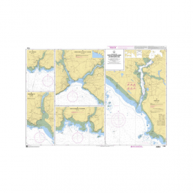
<p>Marine chart SHOM 7136L. From Mahé Bridge to Piriac sur Mer. Scale 1:15000.</p>
available
-
<p>Marine chart SHOM 7135 L. From the point of Saint Jacques to Damgan. Scale 1:15000.</p>
available
-
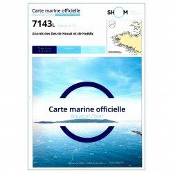
<p>SHOM marine chart 7143 L. Approaches to the islands of Houat and Hoëdic. Scale 1:20000</p>
available

-
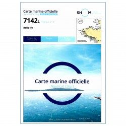
<p>SHOM marine chart 7142 L. Belle-Île. Scale 1:25000</p>
available
-
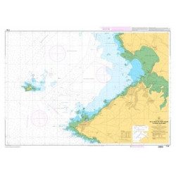
<p>SHOM marine chart 7141 L. Quiberon Bay. Scale 1:20000</p>
available

-
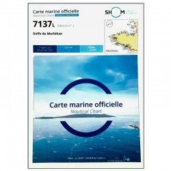
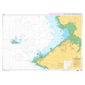
<p>SHOM marine chart 7137 L. Gulf of Morbihan. Scale 1:20000</p>
available
-
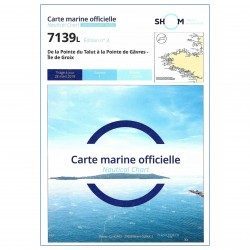
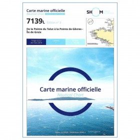
<p>SHOM marine chart 7139 L. Groix Island and Lorient roadstead. Scale 1:20000</p>
available
-
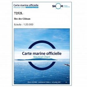
<p>SHOM marine chart 7252L. Les Glénans. Scale 1:20000</p>
available

-
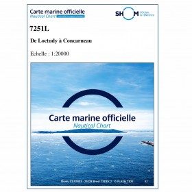
<p>SHOM marine chart 7251 L. From Loctudy to Concarneau. Scale 1:20 00.</p>
available
-
<h2>SHOM Marine Chart 7250 - From Pointe de la Torche to Loctudy</h2>
<ul>
<li>Scale 1:20000</li>
<li>Flat chart</li>
</ul>
available
-
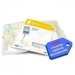
<h2>NV-CHARTS FR5 - 29 South West Brittany nautical charts (from Douarnenez to Lorient) + the 3 statutory adhesive sheets</h2>
<p><span style="font-size:10pt;">In this NV-Charts FR5 pack, you will find an Atlas of <span>29 charts of South-West Brittany, from Douarnenez to Lorient, including 2 deep-sea charts, 11 coastal charts and 16 detailed charts</span>. With a personal download code, you will have access to all the maps in digital format as well as the <strong>NV Graphical Navigator light navigation software</strong> both freely usable on PC, tablets or smartphone!</span></p>
<p><span style="font-size:10pt;">The areas represented are: <strong>South West Brittany Douarnenez, Sein, Audierne, Guilvinec, Loctudy, Bénodet, Port La Forêt, Concarneau, Les Glénan, Aven Belon, Doëlan, Groix, Lorient(FRANCE).</strong></span></p>
<p><span style="font-size:10pt;"><span style="color:#ff0000;"><strong>Free with your FR5 pack:</strong></span> 3 adhesive sheets containing the mandatory regulatory documentation (RIPAM, buoys and flags) for navigation in coastal areas (art 242-2.04 of Division 240). <span style="color:#ff0000;"><strong>When you buy your pack, you have all the regulatory documentation for sailing within 6 miles of a shelter.</strong></span></span></p>
<h2>Description of the FR5 card pack</h2>
available
-
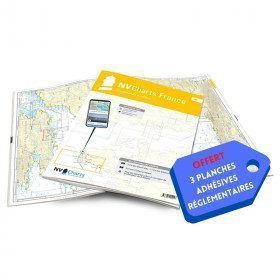
<h2>NV-CHARTS FR6 - 36 charts of South East Brittany (from Lorient to Noirmoutier) + the 3 regulatory adhesive sheets</h2>
<p><span style="font-size:10pt;">In this NV-Charts FR6 pack, you will find an Atlas of <span>36 charts of South Brittany from Lorient to Noirmoutier including 3 offshore charts, 13 coastal charts and 20 detailed charts</span>. With a personal download code, you will have access to all the maps in digital format as well as the <strong>NV Graphical Navigator light navigation software</strong> both freely usable on PC, tablets or smartphone!</span></p>
<p><span style="font-size:10pt;">The areas represented are: <strong>South Brittany - Lorient, Etel, Belle-Île, Baie de Quiberon, La Trinité, Golfe du Morbihan, Vannes, Auray, Houat, Hoedic, La Vilaine, Piriac, La Turballe, Le Croisic, La Baule, Pornichet, Saint Nazaire, Nantes, Pornic, Noirmoutier (FRANCE)</strong></span></p>
<p><strong><span style="font-size:10pt;"><span style="color:#ff0000;">Free with your FR6 pack:</span> 3 adhesive sheets containing the mandatory regulatory documentation (RIPAM, buoys and flags) for navigation in coastal areas (art 242-2.04 of Division 240). <span style="color:#ff0000;">When you buy your pack, you have all the regulatory documentation for sailing within 6 miles of a shelter.</span></span></strong></p>
<h2>Description of the FR6 card pack</h2>
available
-
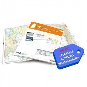
<h2>NV-CHARTS FR4 - 33 West Brittany Marine Charts (from the Seven Islands to Douarnenez) + the 3 regulatory adhesive sheets</h2>
<p><span style="font-size:10pt;">In this pack NV-Charts FR4, you will find an Atlas of 33 nautical charts from the Seven Islands to Douarnenez<span> including 2 offshore maps, 13 coastal maps and 18 detailed maps</span>. With a personal download code, you will have access to all the maps in digital format as well as the <strong>NV Graphical Navigator light navigation software</strong> both freely usable on PC, tablets or smartphone!</span></p>
<p><span style="font-size:10pt;">The areas represented are: <strong>Western Brittany - Roscoff, Morlaix, Ouessant, Molène, Brest, Camaret, Crozon, Morgat, Douarnenez, Sein (FRANCE).</strong></span></p>
<p><span style="font-size:10pt;"><span style="color:#ff0000;"><strong>Free with your FR4 pack:</strong></span> 3 adhesive sheets containing the mandatory regulatory documentation (RIPAM, buoys and flags) for navigation in coastal areas (art 242-2.04 of Division 240). <span style="color:#ff0000;"><strong>When you buy your pack, you have all the regulatory documentation for sailing within 6 miles of a shelter.</strong></span></span></p>
<h2>Description of the FR4 card pack</h2>
available
-
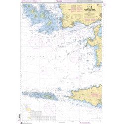
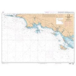
<h2>The SHOM marine chart 7146 L is the marine chart from the Pointe de Penmarc'h to the Pointe de Trévignon.</h2>
<p>Area covered: Le Guilvinec, Bénodet, Loctudy, Port la Forêt, Concarneau, Les Glénan. Scale 1:49,700.</p>
<h2>Characteristics of the SHOM 7146 L chart (folded version)</h2>
available
-
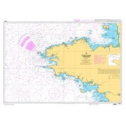
<h2>The SHOM marine chart 7147 L is the marine chart of the Chaussée de Sein to the Pointe de Penmarc'h and the Baie d'Audierne</h2>
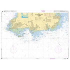
<p>Area covered: Raz de Sein, Audierne, Pointe de Penmarc'h. Scale 1:29600.</p>
<h2>Characteristics of the SHOM 7147 L chart (folded version)</h2>
available
-
<h2>The SHOM marine chart 7148 L is the marine chart from the Goulet de Brest to the Chaussée de Sein.</h2>
<p>Area covered: Le Conquet, Molène, Goulet de Brest, Camaret, Ile de Sein, raz de Sein, Audierne. Scale 1:49,300.</p>
<h2>Characteristics of the SHOM 7148 L chart (folded version)</h2>
available
-
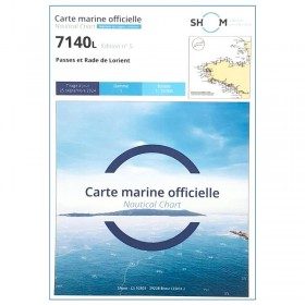
<p>SHOM marine chart 7140 L. Rade and passes of Lorient. Scale 1:10000</p>
available
-
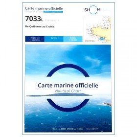
<p style="text-align:justify;">Navigation chart shom 7033 type L (folded in A4 format) for cruising between Quiberon and Le Croisic. Scale: 1:50 000</p>
available
-
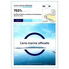
<p style="text-align:justify;">Shom marine chart for your cruises or regattas in Brittany. From Penfret island to the Birvideaux plateau via the outskirts of Lorient. Shom 7031. Scale: 1:50000.</p>
available
-
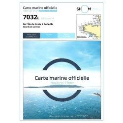
<p style="text-align:justify;">Marine map shom 7032 for your boat cruises. From Groix island and the outskirts of Lorient to Belle-Ile. Scale: 1:50000.</p>
available
-
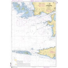
<p style="text-align:justify;">Shom 7067 marine chart available in folded A4 format or in flat A0 format (unfolded). Chart for navigations between the chaussée de Sein and Belle Ile. SHOM marine chart type Carte L, folded to A4 format, for yachting or flat format A0 (84 x 119 cm) for use in merchant marine. Updated print run: 2015 Scale: 1 : 160 900</p>
available
-
<p style="text-align:justify;">Shom 7076 marine chart for cruising or racing from Saint Nazaire to Saint Malo. Scale: 1:350000</p>
available
-
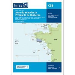
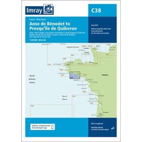
<h2 style="text-align:justify;">Imray C38 marine chart from Anse de Benodet to Presqu'île de Quiberon</h2>
<p style="text-align:justify;">On this edition, the latest survey information has been included where available. The port developments of Lorient and Concarneau and the Glénan Islands are included. The map specification has been improved to show coloured light flashes. A general update has been made.</p>
<p style="text-align:justify;">Maps included:</p>
<ul><li>Port la Forêt (1:15 000)</li>
<li>Concarneau (1:15 000)</li>
<li>Port Manec'h (1:35 000)</li>
<li>Brigneau & Merrien Ports (1:20 000)</li>
<li>Doëlan (1:15 000)</li>
<li>Glénan North Islands (1:30 000)</li>
<li>Lorient (1:35 000)</li>
<li>Lorient Yacht Harbour (1:10 000)</li>
<li>Port Tudy (Island of Groix) (1:10 000)</li>
<li>Étel (1:35 000)</li>
</ul><h2 style="text-align:justify;">Characteristics of the Imray C38 marine chart from Benodet to Quiberon</h2>
unavailable
-
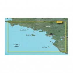
<p>Marine cartography on SD/MicroSD card compatible with all Garmin portable GPS with mapping. Local delimitation centred on South Brittany.</p>
unavailable
-
<h2>The SHOM marine chart 7148-CA is the marine chart from the Goulet de Brest to the Chaussée de Sein.</h2>
<p>Area covered: Le Conquet, Molène, Goulet de Brest, Camaret, Ile de Sein, raz de Sein, Audierne. Scale 1:49,300.</p>
<h2>Characteristics of the SHOM 7148-CA chart :</h2>
available
-
available
-
<p>Nautical chart SHOM 7145L. From Triballe to Pornichet. Scale: 1:25000.</p>
available
-
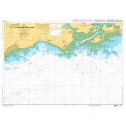
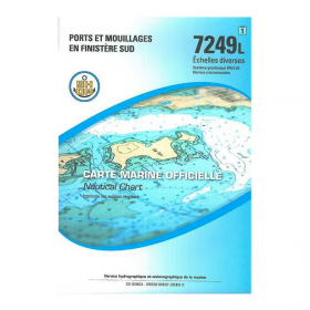
<p>Nautical chart SHOM 7249L. Ports and anchorages in South Finistère. Scale: 1:20000.</p>
available
-
<h2>SHOM Marine Chart 7250L - From Pointe de la Torche to Loctudy</h2>
<ul>
<li>Scale 1:20000</li>
<li>Folded</li>
</ul>
available

-
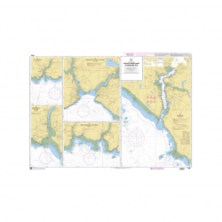
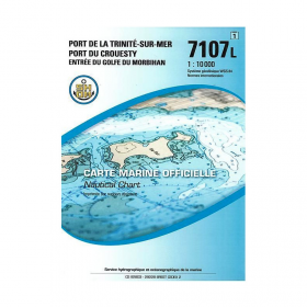
<p>SHOM marine chart 7107L : Harbour of la Trinité-Sur-Mer, harbour of Le Crouesty, entrée du Golfe du Morbihan. Scale 1:10000</p>
available
-
available


Showing 1-32 of 32 item(s)