available


Detailed features

HOM Marine Chart 7137 -CA Flat chart of the Gulf of Morbihan. Scale 1:20000
Marine map of the Gulf of Morbihan
Flat format delivered in rolls.
You might also like 2 other products seleted for you
-
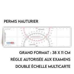
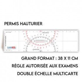
<h2>Flash-Tide - Cras 2000 two-tone ruler</h2>
<p style="text-align:justify;">The Flash-Tide Crash Ruler 2000 is a two-tone red and black crashed ruler that is very popular with boaters and offshore license applicants because it is more practical and easier to read than traditional crashed rulers.</p>
<h2>Details of the Cras 2000 rule</h2>
available

-
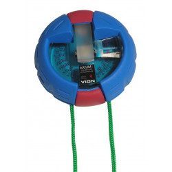
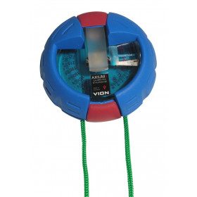
<h2>The VION AXIUM 3 Bearing Compass</h2>
<p style="text-align:justify;">The Axium 3 compass from VION is the "rolls" of the bearing compasses. This model is well known among French boaters for being both solid and extremely reliable. With the Axium 3, you will get all your measurements right the first time!</p>
<h2>Features of the VION Axium 3 bearing compass</h2>
available
In the same category
4 other products seleted for you-
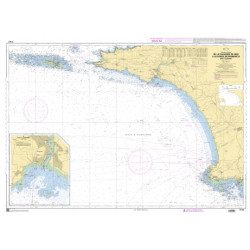
<h2>The SHOM marine chart 7147 L is the marine chart of the Chaussée de Sein to the Pointe de Penmarc'h and the Baie d'Audierne</h2>
<p>Area covered: Raz de Sein, Audierne, Pointe de Penmarc'h. Scale 1:29600.</p>
<h2>Characteristics of the SHOM 7147 L chart (folded version)</h2>
available
-
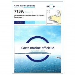
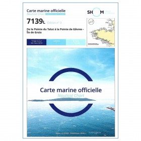
<p>SHOM marine chart 7139 L. Groix Island and Lorient roadstead. Scale 1:20000</p>
available
-
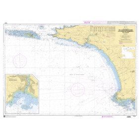
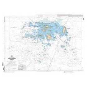
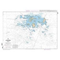
<p>SHOM marine chart 7252L. Les Glénans. Scale 1:20000</p>
available
-
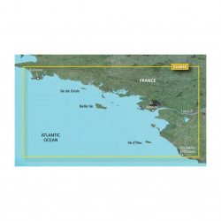
<p>Marine cartography on SD/MicroSD card compatible with all Garmin portable GPS with mapping. Local delimitation centred on South Brittany.</p>
unavailable