

SHOM charts
SHOM (Service Hydrographique et Océanographique de la Marine) is a specific establishment of the French Navy whose main mission for 300 years has been to measure bathymetry, design nautical charts and distribute them. The establishment also distributes a certain number of nautical documents that are useful or even essential for navigation: RIPAM, buoyage, current charts, etc...
Picksea is a SHOM Approved resseler and can therefore offer you all the publications of this establishment.
For civilian or military sailors, whether they are commercial, fishing or pleasure craft, safe navigation requires the best information to understand the maritime area from a nautical point of view, to find their way around and to choose their route, taking into account the weather conditions and traffic.
NAVIGATIONAL CHARTS
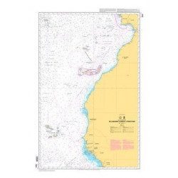
The L-chart collection is a selection of nautical charts that are perfectly suited for recreational boating. They provide the same information as the classic charts and are updated at regular intervals. Picksea has a selection of the 20 best selling and most popular SHOM L charts in stock. You can also find the SHOM charts dedicated to exams boating (offshore licence) or merchant navy.
THE WORLD'S NAUTICAL CHARTS ON DEMAND
If you are looking for a SHOM chart or a chart of a particular navigation area, contact us by mail or via the form. Tell us the chart(s) of your choice: we will order it and deliver it to you within 10 days. To help you in your choice of charts you can go on this search module.
OFFICIAL DOCUMENTATION
Picksea also offers you all the official documentation of the SHOM: Ouvrage 2 RIPAM, Ouvrage 3 Balisage, 1 D Symboles des charts marines, Atlas des courants de marées, guides du navigateur, etc... All these works are available in stock or on order.
Read more
There are 88 products.
-
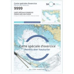
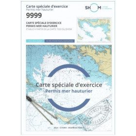
<h2 style="text-align:justify;">SHOM chart 9999 for the french offshore licence exam</h2>
<p style="text-align:justify;">The SHOM chart 9999 is the official chart for the offshore licence examination which allows you to navigate beyond 6 miles from a shelter. The 9999 chart is also used to do all the exercises to prepare for the exam.</p>
<h2 style="text-align:justify;">Training and preparation for the french offshore licence (theory test)</h2>
<p style="text-align:justify;">After passing the coastal licence (and perhaps also the inland waterway licence), you want to extend your navigation area to the "high seas"! To do this, you need to obtain a offshore licence to sail motorboats beyond 6 miles from a shelter (it is also very useful for sailing boats). You can read the article <a href="https://www.picksea.com/en/actualites-et-conseils/post/18-all-knowing-pass-license-holder">"Everything you need to know about the offshore licence"</a>.</p>
<p style="text-align:justify;">The chart 9999 is the official chart to take the offshore licence exam. Of course, this SHOM 9999 chart also allows you to work on all the exercises and mock exams in your school boat or as an independent candidate, to prepare for the tests for the offshore extension of the sea boat licence.</p>
<p style="text-align:justify;">The SHOM 9999 chart is a special marine chart but it contains all the information of a real navigation chart (scale of latitudes and longitudes, coasts, probes, dangers, beacons, lighthouses, currents, ...). You can plot routes and bearings and position points, or measure distances as on a real chart. See the article <a href="https://www.picksea.com/en/actualites-et-conseils/post/49-determine-route-direction-distance">"Determining a route in direction and distance" on our blog</a>.</p>
<p style="text-align:justify;">The SHOM (Services Hydrographique et Océanographique de la Marine) is the public organisation in charge of collecting data (soundings, currents, coastline, ...) and distributing this information, in particular in the form of nautical charts. Find here all our other SHOM charts.</p>
<h2 style="text-align:justify;">Characteristics of the SHOM 9999 Special Offshore Exam Chart</h2>
available

-
<p>Nautical chart SHOM 7145L. From Triballe to Pornichet. Scale: 1:25000.</p>
available
-
<p>Marine chart SHOM 7136L. From Mahé Bridge to Piriac sur Mer. Scale 1:15000.</p>
available
-
<p>Marine chart SHOM 7135 L. From the point of Saint Jacques to Damgan. Scale 1:15000.</p>
available
-
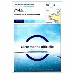
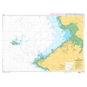
<p>SHOM marine chart 7143 L. Approaches to the islands of Houat and Hoëdic. Scale 1:20000</p>
available
-
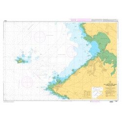
<p>SHOM marine chart 7141 L. Quiberon Bay. Scale 1:20000</p>
available

-
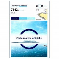
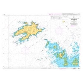
<p>SHOM marine chart 7142 L. Belle-Île. Scale 1:25000</p>
available
-
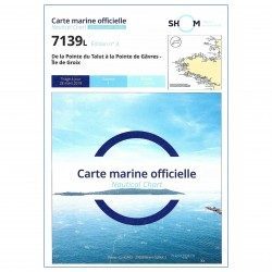
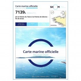
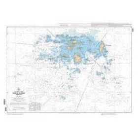
<p>SHOM marine chart 7139 L. Groix Island and Lorient roadstead. Scale 1:20000</p>
available
-
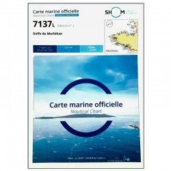
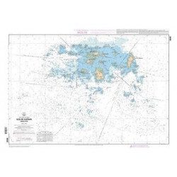
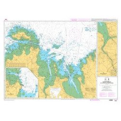
<p>SHOM marine chart 7137 L. Gulf of Morbihan. Scale 1:20000</p>
available
-
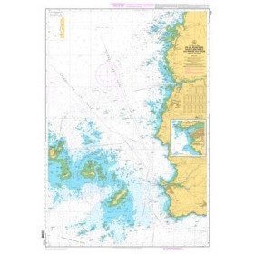
<p>SHOM marine chart 7252L. Les Glénans. Scale 1:20000</p>
available
-
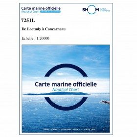
<p>SHOM marine chart 7251 L. From Loctudy to Concarneau. Scale 1:20 00.</p>
available
-
<h2>SHOM Marine Chart 7250 - From Pointe de la Torche to Loctudy</h2>
<ul>
<li>Scale 1:20000</li>
<li>Flat chart</li>
</ul>
available
-
<p>Marine chart for coastal navigation. SHOM 7423L - Raz de Sein - scale 1:20000</p>
available
-
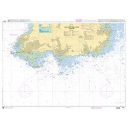
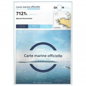
<p>Marine chart for coastal navigation. SHOM 7121 - Douarnenez Bay - scale 1:30000. Available in folded A4 format or in unfolded A0 format</p>
available

-
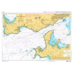
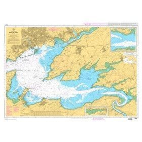
<p>Marine chart for coastal navigation. SHOM 7401 L - Access to the Rade de Brest - Scale 1:22500</p>
available
-
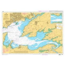
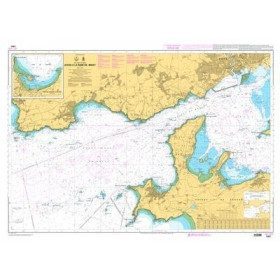
<p>Marine chart for coastal navigation. SHOM 7400 L - Rade de Brest - Scale 1:22500</p>
available
-
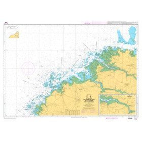
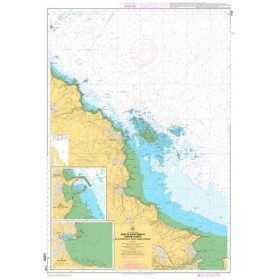
<p>Marine chart for coastal navigation. SHOM 7094 L - From the Four lighthouse to the Virgin Island - Aber Wrac'h Port - Scale 1:25000</p>
available
-
<p>Marine chart for coastal navigation. SHOM 7095 L - Morlaix Bay - from Batz Island to Primel Point - Scale 1:20000</p>
available
-
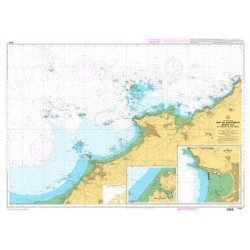
<p>Marine chart for coastal navigation. SHOM 7123 L - Molène Island - Ushant Island - Fromveur Passage - Scale 1:20000</p>
available

-
<p>Marine chart for coastal navigation. SHOM 7122 L - from Pointe Saint Mathieu to Four lighthouse - Scale 1:25000</p>
available

-
<p>Marine chart for coastal navigation. SHOM 7124 L - Bay of Lannion - from Pointe de Primel to Ile Grande - Scale 1:20000</p>
available
-
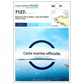
<p>Marine chart for coastal navigation. SHOM 7127 L - Bréhat Island - Paimpol Cove - Trieux Entrance. Scale 1:20000</p>
available
-
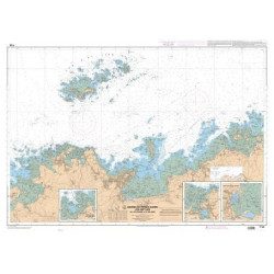
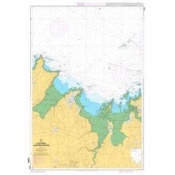
<p>Marine chart for coastal navigation. SHOM 7125 L - Approaches to Perros-Guirec - Scale 1:20000</p>
available
-
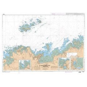
<p>Marine chart for coastal navigation. SHOM 7128 L - Bay of Saint Brieuc - from Pointe de la Tour to Yffiniac Cove. Scale 1:25000</p>
available
-
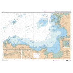
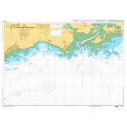
<p>Marine chart for coastal navigation. SHOM 7310 L - Bay of Saint Brieuc (eastern part) - from Dahouët to Cap Fréhel. Scale 1:25000.</p>
available
-
<p>Marine chart for coastal navigation. SHOM 7129 L - from Cap Fréhel to Saint Briac-sur-Mer - Scale 1:20000.</p>
available
-
<p>Marine chart for coastal navigation. SHOM 7130 L - Approaches to Saint Malo - from Hebihens Island to Pointe de la Varde - Scale 1:15000.</p>
available
-
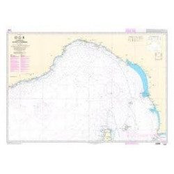
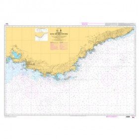
<p>Official SHOM chart - 7212 L - Cape Finisterre to Casablanca - Scale 1: 100000</p>
available
-
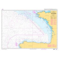
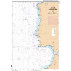
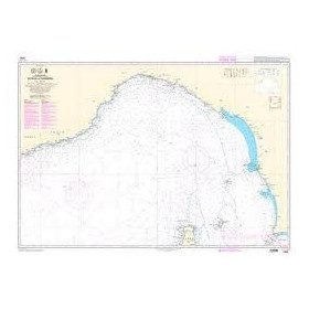
<p>Official SHOM chart - 7211 L - Bay of Biscay - from Brest to Cabo Finisterre.</p>
available
-
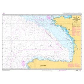
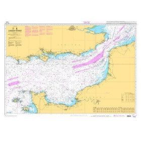
<p>Shom marine chart 6821L. Nice to Piombino. Scale: 1:250000.</p>
available
-
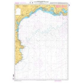
<p>Mediterranean shom marine map : From Fos sur Mer to Capo Mele. Scale: 1:250000.</p>
available
-
<p>Marine chart shom 7008. Cabo de San Sebastian to Fos sur Mer. Scale : 1:250000</p>
available
-
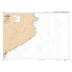
<p>Shom marine chart 7663. From Barcelona to Cape Cerbere. Scale 1:175000.</p>
available
-
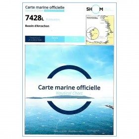
<p style="text-align:justify;">Marine map 7428L for your coasters and your discoveries of the Arcachon basin.</p>
available
-
<p style="text-align:justify;">Shom marine chart for navigation from Oleron island to Arcachon basin. Scale: 1:167000.</p>
available
-
<p>Shom 7069 marine chart for cruising around Yeu, Ré and Oléron. Scale: 1:164800.</p>
available
-
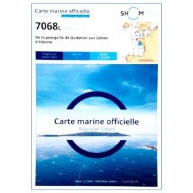
<p style="text-align:justify;">Shom 7068 navigation chart for cruising between Quiberon and Les Sables d'Olonne. Scale: 1:162400</p>
available
-
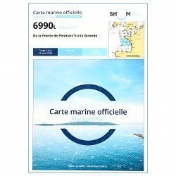
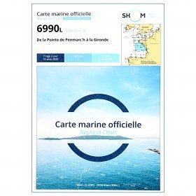
<p style="text-align:justify;">Shom 6990 marine chart for your navigations between Penmarc'h and the Gironde estuary. Scale: 1:355000</p>
available
-
<p style="text-align:justify;">Shom 7076 marine chart for cruising or racing from Saint Nazaire to Saint Malo. Scale: 1:350000</p>
available
-
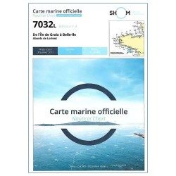
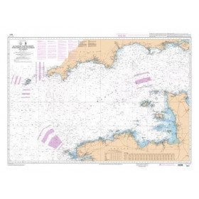
<p style="text-align:justify;">Marine map shom 7032 for your boat cruises. From Groix island and the outskirts of Lorient to Belle-Ile. Scale: 1:50000.</p>
available
-
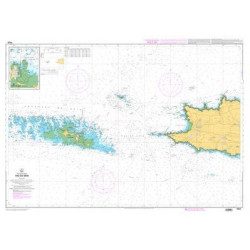
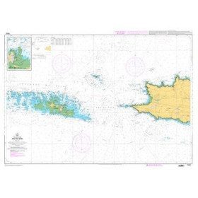
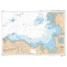
<p style="text-align:justify;">Shom 7311 nautical chart for cruising in the Channel : Scilly, Ouessant, Jersay, Guernsey, everything is there.</p>
available
-
<p style="text-align:justify;">Shom 7312 marine chart for your cruising or racing in the Eastern Channel. From Casquets to Pas-de-Calais. Scale 1:375000</p>
available

-
<p style="text-align:justify;">Shom marine chart essential to make a perfect transatlantic by following the great circle.</p>
available

-
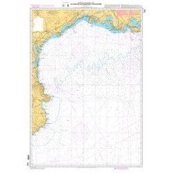
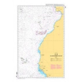
<p style="text-align:justify;">Shom 6624 nautical chart for sailing along the Portuguese and African coasts. Ideal for the sailor who wishes to make a transatlantic crossing.</p>
available
-
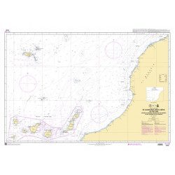
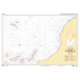
<p style="text-align:justify;">Marine chart shom 7270 for navigations between Casablanca and Cape Jubi, and in the Madeira and Canary Islands area. Ideal for the sailor who wishes to make a transatlantic crossing.</p>
available
-
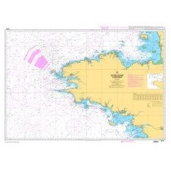
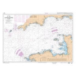
<p style="text-align:justify;">Shom marine chart for your cruises or regattas in Brittany. From Penfret island to the Birvideaux plateau via the outskirts of Lorient. Shom 7031. Scale: 1:50000.</p>
available
-
<h2 style="text-align:justify;">The SHOM 7395 L chart is the folded version of the chart for Le Croisic to Noirmoutier and the Loire Estuary.</h2>
<p style="text-align:justify;">Area covered: Le Croisic, Le Pouliguen, Pornichet, La Baule, Saint Nazaire, Saint Brévin, baie de Bourgneuf, L'Herbaudière. Scale 1:50300.</p>
available
-
<p style="text-align:justify;">Shom 7394 marine chart for cruising around Noirmoutier. Scale: 1:50000.</p>
available


Showing 1-48 of 88 item(s)