available


In the same category
4 other products seleted for you-
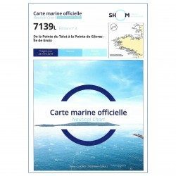
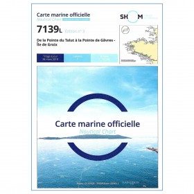
<p>SHOM marine chart 7139 L. Groix Island and Lorient roadstead. Scale 1:20000</p>
available
-
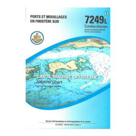
<p>Nautical chart SHOM 7249L. Ports and anchorages in South Finistère. Scale: 1:20000.</p>
available
-
<p style="text-align:justify;">Shom 7076 marine chart for cruising or racing from Saint Nazaire to Saint Malo. Scale: 1:350000</p>
available
-
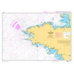
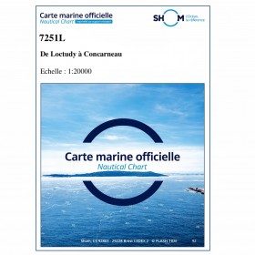
<p>SHOM marine chart 7251 L. From Loctudy to Concarneau. Scale 1:20 00.</p>
available