available


Detailed features

Nautical chart SHOM 7145L. From Triballe to Pornichet. Scale: 1:25000.
Card SHOM.
In the same category
4 other products seleted for you-
<p>SHOM marine chart 7142 L. Belle-Île. Scale 1:25000</p>
available


-
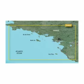
<p>Marine cartography on SD/MicroSD card compatible with all Garmin portable GPS with mapping. Local delimitation centred on South Brittany.</p>
unavailable

-
<p>SHOM marine chart 7107L : Harbour of la Trinité-Sur-Mer, harbour of Le Crouesty, entrée du Golfe du Morbihan. Scale 1:10000</p>
available
-
<p>SHOM marine chart 7251 L. From Loctudy to Concarneau. Scale 1:20 00.</p>
available