

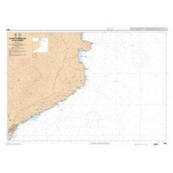
Mediterranean charts
From Port-Vendre to Marseille, or from Martigues to Menton, without forgetting the Corsican coast... Find a large choice of nautical charts SHOM or NV-CHARTSof the French coasts of the Mediterranean and Corsica on our site. Looking for a particular nautical chart ? Contact us ! We will order it for you!
OUR LARGE CHOICE OF NAUTICAL CHARTS ON THE MEDITERRANEAN COAST
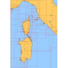
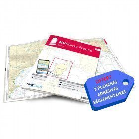
Among our selection of navigation charts dedicated to the Mediterranean coast and the island of Beauty, discover also our nautical chart packs. Just like the pack FR9Our packs include all the navigation charts to navigate in a specific area as well as 3 regulatory adhesive boards. The FR9 pack includes an atlas of 70 Mediterranean charts from Cap Creus to Toulon, including 3 offshore charts, 14 coastal charts and 53 detailed charts. When you buy a pack, you also get 3 adhesive boards containing the regulatory documentation required for navigation in coastal areas. Thanks to the packs, you can navigate safely on the Mediterranean coast but also around the world globe with our wide selection of navigation charts Overseas, North Brittany, South Brittany, Atlantic coast, Atlantic coast, or even North Sea
OFFICIAL NAUTICAL CHARTS FOR LICENCES AND EXAMS
In order to pass certain permits, such as the offshore boat permit, each candidate must refer to a examination chartthe chart 9999 of the SHOM. Like the chart 7066 dedicated to the professional maritime exam, this navigation chart also allows to prepare for the exams. Although an exam chart, these charts are perfectly usable for navigation. They contain all the information of a real chart (latitude and longitude scales, coasts, probes or even dangers...). Routes and bearings can be traced on them as well as the positioning of points. To learn more about using your nautical chart, discover our article " How to read and use your navigation chart"
LAMINATED CHARTS FOR COASTAL NAVIGATION
Every good sailor knows the importance of always having a navigation chart on board. Kayaking, catamaran sailing... Coastal navigation in general, requires being able to refer easily and quickly to your navigation chart. For this purpose, Navicarte offers you a wide choice of laminated nautical charts for pleasure boating or cruising
OFFSHORE CHARTS FOR OFFSHORE NAVIGATION
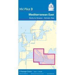
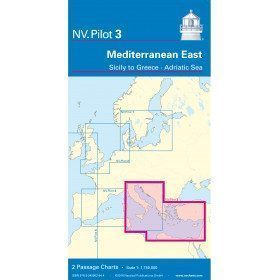
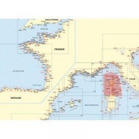
The deep-sea charts offers you the possibility to plan, prepare and follow in a simple way your next crossing. This type of charts is presented in folded or rolled versions, in scales varying from 1:1,150,000 to 1:750,000. The maps cover a large navigation area without showing detailed symbols. The aim is to be able to choose your routes and consider your options. By containing the important course lights and distances between the various ports of call, these charts are designed for offshore navigation. The Offshore Navigation Chart NV PILOT 3 from NV-CHARTS covers the eastern Mediterranean. The front side covers the Tyrrhenian Sea, the Adriatic Sea, the Ionian Sea to the coast of Tunisia. The reverse side covers the Mediterranean Sea up to longitude 17°E.
Read more
There are 18 products.
-
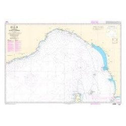
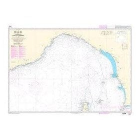
<p>Shom marine chart 6821L. Nice to Piombino. Scale: 1:250000.</p>
available

-
<p>Mediterranean shom marine map : From Fos sur Mer to Capo Mele. Scale: 1:250000.</p>
available
-
<p>Marine chart shom 7008. Cabo de San Sebastian to Fos sur Mer. Scale : 1:250000</p>
available
-
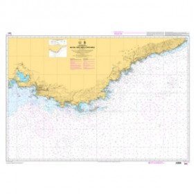
<p>Shom marine chart 7663. From Barcelona to Cape Cerbere. Scale 1:175000.</p>
available
-
<div class="fiche-txt">
<h2>Choose from the list below a chart covering the Mediterranean</h2>
<p style="text-align:justify;">This set of charts covers all the navigation areas in the Mediterranean, with different scales allowing to cover either a large navigation area or to zoom in on a specific port or area. These Shom Marine charts are available in flat or folded format. The L type charts are more suitable for the yachtsman as they are folded to A4 size, easier to store in a chart table. These charts detail the navigation zones of all the sailing areas around Corsica, Sardinia and Italy. Choose from the list below the area you wish to explore by referring to the map number associated with the desired navigation area. Indicate the map number you have chosen and whether you want to sail folded or flat.</p>
<h2>List of chart references and areas covered</h2>
</div>
available
-
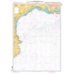
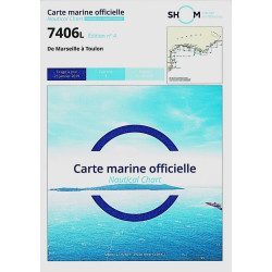
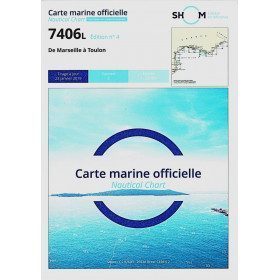
<h2>The SHOM 7406 L chart is the marine chart from Marseille to Toulon.</h2>
<p>Area covered: Marseille South, Cassis, Archipelago of Riou, La Ciotat, Bandol, Toulon. Scale 1/50000.</p>
<h2>Characteristics of the SHOM 7406L chart (folded version)</h2>
available
-
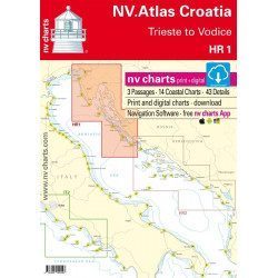
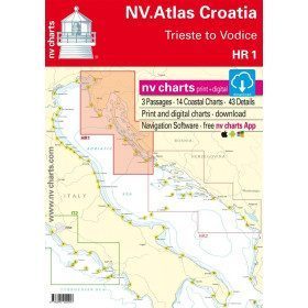
<h2>NV-CHARTS FR9 - 70 Mediterranean Sea charts (from Cap Creus to Toulon) + the 3 regulatory adhesive sheets</h2>
<p><span style="font-size:10pt;">In this NV-Charts FR9 pack, you will find an Atlas of <span>70 Mediterranean charts from Cap Creus to Toulon including 3 offshore charts, 14 coastal charts and 53 detailed charts</span>. With a personal download code, you will have access to all the maps in digital format as well as the <strong>NV Graphical Navigator light navigation software</strong> both freely usable on PC, tablets or smartphone!</span></p>
<p><span style="font-size:10pt;">The areas represented are: <strong>Mediterranean - Port Vendres, Leucate, Canet, Port La Nouvelle, Gruissan, Cap d'Agde, Palavas, Port Camargue, La Grande Motte, Martigue, Carry, Marseille, Calanques, Cassis, La Ciotat, Saint Cyr, Bandol, Toulon (FRANCE)</strong></span></p>
<p><span style="font-size:10pt;"><span style="color:#ff0000;"><strong>Free with your FR9 pack:</strong></span> 3 adhesive sheets containing the mandatory regulatory documentation (RIPAM, buoys and flags) for navigation in coastal areas (art 242-2.04 of Division 240). <span style="color:#ff0000;"><strong>When you buy your pack, you have all the regulatory documentation for sailing within 6 miles of a shelter.</strong></span></span></p>
<h2>Description of the FR9 card pack</h2>
available
-
<h2>NV-CHARTS FR10 - 45 Côte d'Azur Nautical Charts (from Toulon to Menton) + the 3 regulatory adhesive boards</h2>
<p><span style="font-size:10pt;">In this NV-Charts FR10 pack, you will find an Atlas of <span>45 Mediterranean Riviera charts from Toulon to Menton and Monaco including 2 offshore charts, 11 coastal charts and 32 detailed charts.</span> With a personal download code, you will have access to all the maps in digital format as well as the <strong>NV Graphical Navigator light navigation software</strong> both freely usable on PC, tablets or smartphone!</span></p>
<p><span style="font-size:10pt;">The areas represented are: <strong>Mediterranean Riviera - Toulon, Hyères, Port Cros, Porquerolles, Fréjus, Saint Raphaël, Cannes, Antibes, Nice, Monaco, Menton (FRANCE).</strong></span></p>
<p><span style="font-size:10pt;"><span style="color:#ff0000;"><strong>Free with your FR10 pack:</strong></span> 3 adhesive sheets containing the mandatory regulatory documentation (RIPAM, buoys and flags) for navigation in coastal areas (art 242-2.04 of Division 240). <span style="color:#ff0000;"><strong>When you buy your pack, you have all the regulatory documentation for sailing within 6 miles of a shelter.</strong></span></span></p>
<h2>Description of the FR10 card pack</h2>
available
-
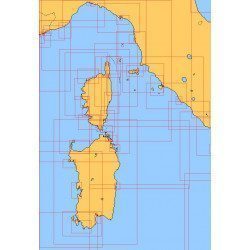
<h2>NV-CHARTS FR11 - 42 nautical charts of Corsica + the 3 regulatory adhesive boards</h2>
<p><span style="font-size:10pt;">In this NV-Charts FR11 pack, you will find an Atlas of <span>42 nautical charts of the whole of Corsica including 2 deep-sea charts, 19 coastal charts and 21 detailed charts</span>. With a personal download code, you will have access to all the maps in digital format as well as the <strong>NV Graphical Navigator light navigation software</strong> both freely usable on PC, tablets or smartphone!</span></p>
<p><span style="font-size:10pt;">The areas represented are: <strong>Corsica - Ajaccio, Calvi, Ile Rousse, Bastia, Porto Vecchio, Bonifacio, Lavezzi, Propriano (FRANCE)</strong></span></p>
<p><span style="font-size:10pt;"><span style="color:#ff0000;"><strong>Free with your FR11 pack:</strong></span> 3 adhesive sheets containing the mandatory regulatory documentation (RIPAM, buoys and flags) for navigation in coastal areas (art 242-2.04 of Division 240). <span style="color:#ff0000;"><strong>When you buy your pack, you have all the regulatory documentation for sailing within 6 miles of a shelter.</strong></span></span></p>
<h2>Description of the FR11 card pack</h2>
available
-
<h2>East Mediterranean Offshore Marine Chart</h2>
<p><span>The NV Pilot 3 offshore chart covers the Eastern Mediterranean: on the front side the Tyrrhenian Sea, the Adriatic Sea, the Ionian Sea and the region of Sicily up to the coast of Tunisia. The reverse side covers the Mediterranean Sea up to longitude 17°E</span></p>
<h2>Details on the NV Pilot 3 map - East Mediterranean</h2>
available
-
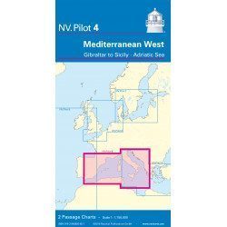
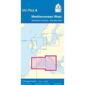
<h2>West Mediterranean Offshore Marine Chart</h2>
<p><span>The NV Pilot 4 offshore chart covers the western Mediterranean: the front side covers the Tyrrhenian Sea, the Adriatic Sea, the Ionian Sea and the region from Sicily to the coast of Tunisia. The reverse side covers the Mediterranean from Gibraltar to Palermo (Sicily)</span></p>
<h2>Details on the NV Pilot 4 map - West Mediterranean</h2>
available
-
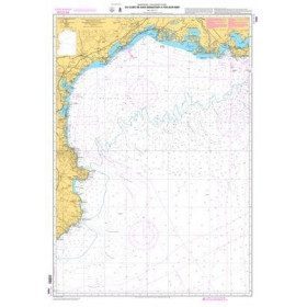
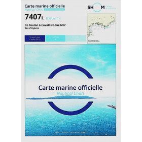
<h2>SHOM chart 7407 L is the nautical chart of Toulon Cavalaire sur Mer</h2>
<p>Area covered: Toulon, Saint Mandrier, Le Pradet, Port Cros, Porquerolles, Hyères, Le Lavandou. Scale 1/50200.</p>
<h2>Characteristics of the map 7407L (folded version) </h2>
available
-
<h2>Sea Cards Packs for the Mediterranean Area</h2>
<p>The nv-charts are characterized by fine contours and easy to distinguish colour graduations of the depth lines: turquoise for coral reefs, red for the 2-metre line and blue for the 5-metre zones. Presented in a practical and user-friendly format (A3 closed and A2 open), a thick plastic envelope protects the charts, making them easy to store. The importance of a good graphic representation of the topography when navigating the Mediterranean is essential.<br /><br />Well-marked rivers, towns and street maps all contribute to a clear overview of the islands' waterfront facilities. Red numbered waypoints with coordinates based on WGS 84 allow mariners to navigate with their GPS instruments. Heights and depths are shown in the internationally recognized metre format. Large-scale approaches and land contour markings simplify entry into anchorages.</p>
<h2><span style="color:#ff0000;">Picksea is Premium Reseller of NV-Charts</span></h2>
<h2>Features of NV-Charts Packs - Mediterranean Zone</h2>
available
-
<p class="t12px">Marine chart shom <span class="searchproduct-list-item-name">6767 </span>for navigations along the blue coast and in the roadstead of Marseille until the calanques<span class="t12px">. Nautical chart SHOM type Carte L folded in A4 format <span class="t12px">or flat</span> </span>, for pleasure boating. Up to date printing Scale <strong><strong>1 : 50 000</strong><br /></strong></p>
available
-
available
-
available
-
available
-
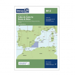
<h2>Imray Marine Chart M12 Cabo de Gata to Denia and Ibiza</h2>
<p>Plans included: Mar Menor (1:75 000) Torrevieja (1:20 000) Alicante (1:30 000) Villajoyosa (1:15 000) Altea (1:15 000) Dénia (1:25 000) Cartagena (1:15 000) This edition includes the latest official Instituto Hidrográfico de la Marina Digital, combined with additional information sourced from Imray's network to make it ideal for small craft. The chart has been fully revised throughout. The main panel has been rescaled to 1:450,000 for consistency with other M-Series charts in Mediterranean Spain. The plan of Mar Menor now provides coverage at an improved larger scale. A new plan of Cartagena has been added.</p>
<h2>Specifications of the Imray Marine Chart M12 Cabo de Gata to Denia and Ibiza</h2>
available


Showing 1-18 of 18 item(s)