available


Detailed features

Marine map 7428L for your coasters and your discoveries of the Arcachon basin.
SHOM chart number 7428L. of the Atlantic coast, Arcachon basin.
In the same category
4 other products seleted for you-
<h2 style="text-align:justify;">The SHOM 7395 L chart is the folded version of the chart for Le Croisic to Noirmoutier and the Loire Estuary.</h2>
<p style="text-align:justify;">Area covered: Le Croisic, Le Pouliguen, Pornichet, La Baule, Saint Nazaire, Saint Brévin, baie de Bourgneuf, L'Herbaudière. Scale 1:50300.</p>
available
-
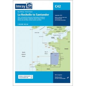
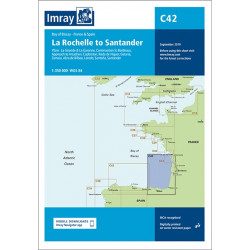
<h2 style="text-align:justify;">Imray C42 Marine Chart La Rochelle to Santander</h2>
<p style="text-align:justify;">In this edition, the latest survey information has been included where available. The shooting practice areas of the Landes test centre have been updated and the port developments of Bilbao and Santoña are shown. The map specification has been improved to show coloured light flashes. A general update has been made.</p>
<p style="text-align:justify;">Maps included:</p>
<ul><li>Arcachon Approach (1:50 000)</li>
<li>Capbreton (1:20 000)</li>
<li>Rada de Higuer (1:25 000)</li>
<li>Getaria (1:15,000)</li>
<li>Zumaia (1:15 000)</li>
<li>Abra de Bilbao (1:25 000)</li>
<li>Laredo (1:20 000)</li>
<li>Santoña (1:20 000)</li>
<li>Santander (1:25 000)</li>
<li>The Gironde & The Garonne (1:200 000)</li>
<li>Continuation to Bordeaux (1:200 000)</li>
</ul><h2 style="text-align:justify;">Characteristics of the Imray C42 map La Rochelle to Santander</h2>
unavailable

-
<p style="text-align:justify;">Shom 6990 marine chart for your navigations between Penmarc'h and the Gironde estuary. Scale: 1:355000</p>
available
-
<p style="text-align:justify;">Shom 7394 marine chart for cruising around Noirmoutier. Scale: 1:50000.</p>
available