available


Detailed features

Shom 7069 marine chart for cruising around Yeu, Ré and Oléron. Scale: 1:164800.
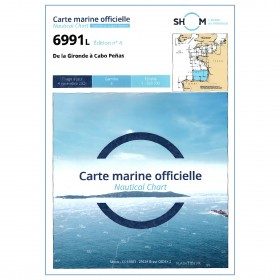
SHOM chart number 7069L. of the Atlantic coast.
In the same category
4 other products seleted for you-
available


-
available
-
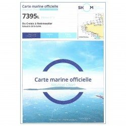
<h2 style="text-align:justify;">The SHOM 7395 L chart is the folded version of the chart for Le Croisic to Noirmoutier and the Loire Estuary.</h2>
<p style="text-align:justify;">Area covered: Le Croisic, Le Pouliguen, Pornichet, La Baule, Saint Nazaire, Saint Brévin, baie de Bourgneuf, L'Herbaudière. Scale 1:50300.</p>
available
-
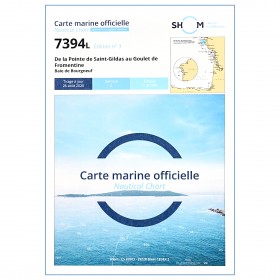
<p style="text-align:justify;">Shom 7394 marine chart for cruising around Noirmoutier. Scale: 1:50000.</p>
available