available


€26.24 -10% €23.62 Tax included
error
Shipped according to supplier's deadline
Une question ?
+33 2 97 11 80 95
In the same category
4 other products seleted for you-
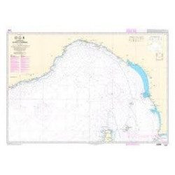
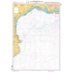
<p>Marine chart shom 7008. Cabo de San Sebastian to Fos sur Mer. Scale : 1:250000</p>
available
-
available

-
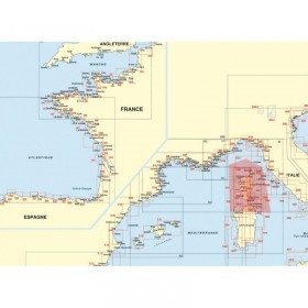
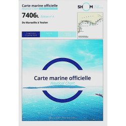
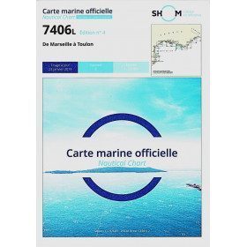
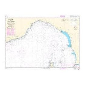
<h2>The SHOM 7406 L chart is the marine chart from Marseille to Toulon.</h2>
<p>Area covered: Marseille South, Cassis, Archipelago of Riou, La Ciotat, Bandol, Toulon. Scale 1/50000.</p>
<h2>Characteristics of the SHOM 7406L chart (folded version)</h2>
available
-
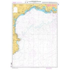
<p>Shom marine chart 6821L. Nice to Piombino. Scale: 1:250000.</p>
available