unavailable


Detailed features

Imray C42 Marine Chart La Rochelle to Santander
In this edition, the latest survey information has been included where available. The shooting practice areas of the Landes test centre have been updated and the port developments of Bilbao and Santoña are shown. The map specification has been improved to show coloured light flashes. A general update has been made.
Maps included:
- Arcachon Approach (1:50 000)
- Capbreton (1:20 000)
- Rada de Higuer (1:25 000)
- Getaria (1:15,000)
- Zumaia (1:15 000)
- Abra de Bilbao (1:25 000)
- Laredo (1:20 000)
- Santoña (1:20 000)
- Santander (1:25 000)
- The Gironde & The Garonne (1:200 000)
- Continuation to Bordeaux (1:200 000)
Characteristics of the Imray C42 map La Rochelle to Santander
- Publisher Imray
- Edition date 2017
- Scale 1/350000 WGS84
- Printed and corrected in February 2021
- Map size 787 x 1118mm.
- Waterproof.
- Folded in a plastic pocket
In the same category
4 other products seleted for you-
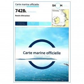
<p style="text-align:justify;">Marine map 7428L for your coasters and your discoveries of the Arcachon basin.</p>
available
-
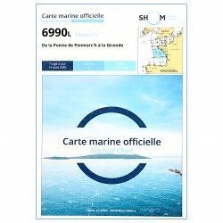
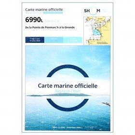
<p style="text-align:justify;">Shom 6990 marine chart for your navigations between Penmarc'h and the Gironde estuary. Scale: 1:355000</p>
available
-
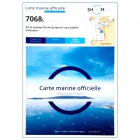
<p style="text-align:justify;">Shom 7068 navigation chart for cruising between Quiberon and Les Sables d'Olonne. Scale: 1:162400</p>
available
-
<p>Nautical chart for navigations around the Ile de Ré. SHOM 7404 L - From Pointe du Grouin du Cou to Pointe de Chassiron</p>
available