available


In the same category
4 other products seleted for you-
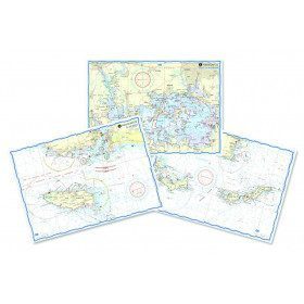
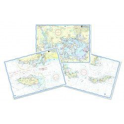
<h2>Waterproof nautical charts of the Mediterranean (France)</h2>
<p style="text-align:justify;">Waterproof nautical charts of the French Mediterranean coast that you can take out in the cockpit because they are waterproof. A3 format with a scale adapted to each sailing basin. Ideal for cruising or coastal regattas. Less cumbersome than traditional charts and very well thought out visually. Longer lasting for outdoor use in all conditions.</p>
<h2>Detailed characteristics of the charts</h2>
available

-
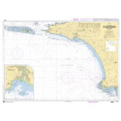
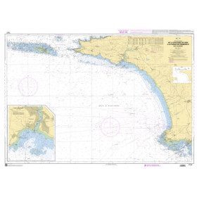
<p style="text-align:justify;">Shom 7076 marine chart for cruising or racing from Saint Nazaire to Saint Malo. Scale: 1:350000</p>
available
-
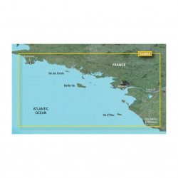
<p>Marine cartography on SD/MicroSD card compatible with all Garmin portable GPS with mapping. Local delimitation centred on South Brittany.</p>
unavailable
-
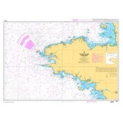
<h2>The SHOM marine chart 7147 L is the marine chart of the Chaussée de Sein to the Pointe de Penmarc'h and the Baie d'Audierne</h2>
<p>Area covered: Raz de Sein, Audierne, Pointe de Penmarc'h. Scale 1:29600.</p>
<h2>Characteristics of the SHOM 7147 L chart (folded version)</h2>
available