

Navigation and forecast
Picksea offers a selection of practical navigation and weather manuals to help you sail safely! Find books to understand the tide, the weather, the signals and the lights. You will also find books on topics such as: how to sail successfully, boating at sea, communicating on board, transoceanic crossing, astronomical navigation, offshore navigation and cruising!
Read more
There are 14 products.
-
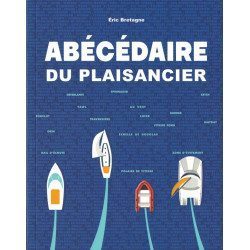
<h2>All about the world of boating - <span style="color:#ff0000;">Written and designed by the experts at Picksea!</span></h2>
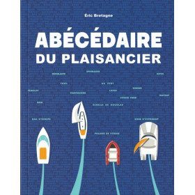
<p style="text-align:justify;">From A for "Shoot" to Z for "Avoidance Zone", this <em>"Abécédaire du plaisancier" </em>offers definitions of more than 300 key words that are essential for acquiring a solid nautical culture that is useful for any outing at sea, in a motorboat or under sail.</p>
<p style="text-align:justify;">The book is enriched with visual plates to identify and remember at a glance the essentials about the design and operation of a boat, basic manoeuvres, markings and markings, safety equipment, rigging, sails, etc...</p>
<h2><span style="font-family:'novecento_wide_medium', sans-serif;font-size:16px;">Details on the Abécédaire du plaisancier</span></h2>
available

-
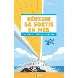
<h2>Réussir sa sortie en mer: preparing, sailing and above all progressing!</h2>
<h2><span style="color:#ff0000;">Written and designed by the experts at Picksea!</span></h2>
<p style="text-align:justify;">Successful Sea Trips is an illustrated guide from the <strong>Vagnon</strong> which accompanies the sailor in all the stages of his sea trip. You will find a<span> unwound <strong>step by step</strong> which follows the chronology of a sea trip (before, during, after) with important themes such as managing the unexpected or sailing at night.</span></p>
<h2>Characteristics of the book Réussir sa sortie en mer</h2>
available
-
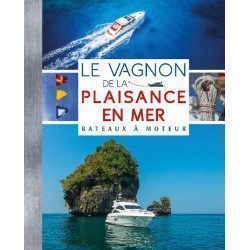
<p style="text-align:justify;"><span>The Vagnon of boating at sea is the Bible of the motor sailor! This book gathers all the knowledge in manoeuvres, navigation, safety, regulations, etc... which will help you to improve your nautical skills.</span></p>
<h2 style="text-align:justify;">The Motor Boating Bible !</h2>
available
-
<div class="fiche-txt">
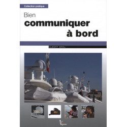
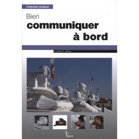
<h2>Communicating well on board: Albert Brel</h2>
<p>The means of communication at sea have greatly evolved in recent years. This manual covers all the possible techniques to simplify calling procedures, facilitate contact with the land and thus ensure safety.</p>
<p>VHF, mobile phone, Inmarsat Standard-C telex, SSB... Albert Brel, an electronics engineer and graduate of the Ecole Pratique des Hautes Etudes, gives you all the keys to choosing and mastering your communication systems.</p>
</div>
available
-
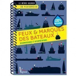
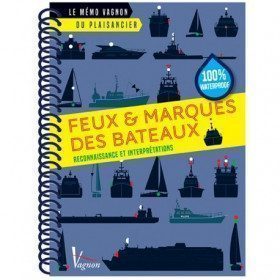
<h2>Memo of Lights & Ship's Marks</h2>
<p>This handy memo is intended to provide a complete overview of ship's lights and marks. It contains day marks, ship's lights and privileges.</p>
<p>You will learn: how to recognize the lights and marks of the boats but also how to interpret them</p>
<h2>Characteristics of the Vagnon Memo - Lights & Marks of boats</h2>
available
-
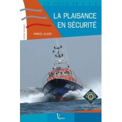
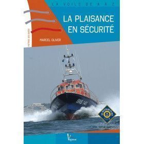
<h2>A beginner sailor? Sail safely!</h2>
<p>Taking to the sea, the first times, when you are a beginner, is not so simple. <span>With this book, published in partnership with the SNSM, the novice yachtsman will have all the keys to ensure his safety on board in the event of a major problem. In this manual, all the major themes are covered: man overboard, fire, collision, grounding, water ingress, evacuation.</span></p>
<h2>Manual Features: La plaisance en sécurité</h2>
available
-
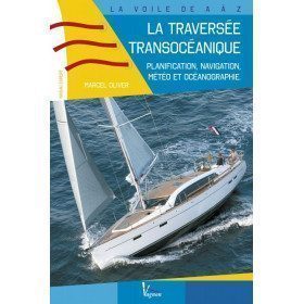
<h2>Prepare your Atlantic crossing</h2>
<p><span>This is a very practical guide for experienced boaters wishing to cross the Atlantic. You will find planning, meteorology and oceanography... A unique book on the market, which adventurous sailors are eagerly awaiting! It also includes examples of routes to the West Indies.</span></p>
<h2>Features of the guide : The trans-oceanic crossing.</h2>
available

-
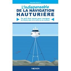
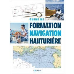
<h2>The essentials of offshore sailing: everything you need to know to sail or motor on the high seas!</h2>
<p style="text-align:justify;">The essential of the deep-sea navigation of <strong>Vagnon</strong> includes the essentials of the regulations (navigation zones, registration, permits), safety (responsibilities of the skipper, equipment, first aid, VHF), day and night navigation, but also eco-actions!</p>
<h2>Features of the manual The Essential of Offshore Navigation</h2>
available
-
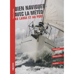
<h2>Sailing well with the weather offshore and in port: driving, manoeuvring and adjusting</h2>
<p>Sailing well with the weather offshore and in port <strong>Vagnon</strong> is a guide that brings together all the manoeuvres and conduct in port and at sea that are essential for good sailing in the weather.</p>
<h2>Features of the book Sailing Well with the Weather Offshore and in Port</h2>
available
-
<h2>An indispensable manual to prepare for the offshore licence - <span style="color:#ff0000;">Written and designed by the experts at Picksea!</span></h2>
<p>This guide to offshore sailing is intended for those who wish to learn about offshore sailing and for those who plan to take the offshore sailing licence exam. It has been designed to enable you to:</p>
<ul>
<li>acquire the knowledge necessary to master offshore navigation as well as those necessary to pass your offshore exam</li>
<li>to progress in your learning thanks to a proven method</li>
<li>to check your knowledge thanks to tests and exercises throughout your training</li>
<li>to prepare yourself with confidence for the offshore exam thanks to the mock exams proposed in this book</li>
<li>to put into practice what you have learned on a simulated offshore sailing trip</li>
</ul>
<h2><span style="font-family:'novecento_wide_medium', sans-serif;font-size:16px;">Details on the Offshore Navigation Training Guide</span></h2>
available
-
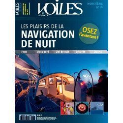
<h2>Dare the adventure of night sailing thanks to the wise and learned advice of Jean-Louis Guéry</h2>
<p>For many yachtsmen, night sailing is still forbidden, because it is too frightening, too risky or too mysterious. But we must beware, because if the yachtsmen who have not yet dared to sail under the stars knew all the pleasures and advantages that can be gained, they would have already cast off and sent the canvas!</p>
<p>That's the world we're taking you into with this new special edition. We give you all the advice you need to sail safely, teach you how to recognise lighthouses, help you to navigate properly, and invite you to avoid the traps of other boats and their little headlights that waddle under the pale, icy light of the moon. A special edition that gives you a clear idea of which route to take. You will also learn about the marvellous world of the stars and the stars that enchant these nocturnal navigations.</p>
<p>This special issue is also very practical and will introduce you to all the latest equipment that is essential for the boat and its crew. So why not make your nights even more beautiful than your days? It's up to you to cast off the canvas, we've lit up the stars!</p>
<h2>Features</h2>
unavailable
-
<h2>Learn how to master the routing in racing and cruising with this book written by meteorologist Jean-Yves Bernot</h2>
<p>This guide allows you to master the various computer tools used for pleasure boating or during competitions and to better interpret meteorological and oceanographic data. The aim is not to present defined routes, but to help the yachtsman to plot and adapt his own. The website offers additional illustrations and further information.</p>
<h2>Features</h2>
available

-
<div class="fiche-txt">
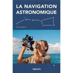
<h2>Astronomical navigation : François Meyrier</h2>
<p><span>Even if today's electronic devices are very reliable, it is still essential (and sometimes compulsory) to know the techniques of positioning with the help of a sextant, a watch, a calculator and the ephemeris. In this manual you will find the basic principles of navigation based on the observation of the Sun, planets and stars. </span></p>
<h2>Features of this book</h2>
</div>
available
-
<h2>The guide to living well on board to deal with all situations</h2>
<p style="text-align:justify;">The guide to living well on board <strong>Vagnon</strong> offers technical advice (how to optimize your space and equip yourself well) but also psychological advice to avoid crisis situations and to live well on board with your crew or alone. You will find themes such as equipment and material, managing emotions, stress, solitude, fear...</p>
<h2>Features of the Guide to living well on board</h2>
available


Showing 1-14 of 14 item(s)