Detailed features

Code Marin réglementaire bateau : Pack of 3 A5 adhesive sheets
The regulatory marine code in 3 self-adhesive sheets RIPAM / Buoyage / Flags gathers the essential of the international maritime regulations for pleasure boating. A5 format, easier to put on board. CONFORMS TO D240
Characteristics of the Marine Code in a pack of 3 A5 sheets
The regulatory marine code comes in a pack of 3 self-adhesive sheets RIPAM / Buoyage / Flags which contain the essential international maritime regulations for pleasure boating. They can replace the mandatory documents on board in basic or coastal navigation (they comply with the provisions of division 240*). The stickers are printed on a very strong and flexible material.
The A5 format of adhesives allows them to be placed and put down more easily on board the boat outside or in the cabin.
Extract from Division 240 (version applicable on June 1, 2019) - Article 240-2.04: coastal armament and safety equipment for recreational vessels sailing from 2 to less than 6 miles from a shelter.
.../...
7. The International Regulations for Preventing Collisions at Sea (RIPAM), or a textual and graphic summary, possibly in the form of self-adhesive leaflets ...
8. A document describing the marking system of the area frequented, possibly in the form of self-adhesive plates ...
- Complies with Division 240 regulations
- Size of each sheet: A5 (21 x 15 mm)
- MYLAR support
- Quadricolour Edition
In the same category
4 other products seleted for you-
<div class="fiche-txt">
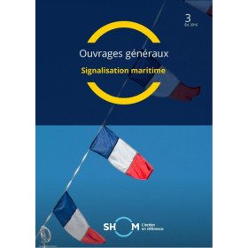
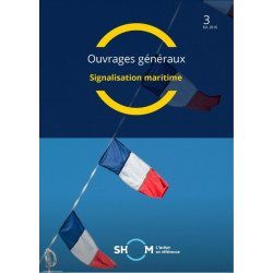
<h2>Marine Signage</h2>
<p>This book will allow you to know the maritime signage regulations and updated.</p>
<h2>All the Shom's regulatory works on our website</h2>
You can find on Picksea.com all the regulatory books of the Shom, like the good uses of the nautical documents 1F, or the book on the international regulation to prevent collisions at sea 2.</div>
available

-
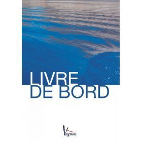
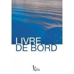
<h2>The indispensable logbook</h2>
<p><span>A practical board book at a low price!</span></p>
<h2>Characteristics of the manual: Vagnon logbook</h2>
available
-
<div class="fiche-txt">
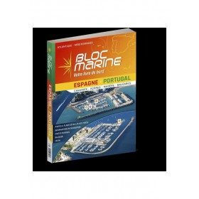
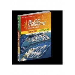
<h2>The essential guide for sailing around Spain and Portugal</h2>
<p>The Spain-Portugal Marine Block is the book to have on board! It allows you to have all the essential and mandatory documents on board your boat. The descriptions of ports and maps are updated every 2 or 3 years and allow you to save precious time to arrive safely and calmly at your destination. In this new edition, which was completely updated in June 2023, the Marine Block docks on the coasts of the Iberian Peninsula: Portugal, Spain, not forgetting the islands with the Balearic Islands, Madeira, the Canaries, the Azores... in total, there are more than 350 ports and as many opportunities for stopovers and cruises in perspective! In addition to general information on regulations, rescue and safety at sea, you will find, for each port, a maximum of information on the installations, the operation and the means of rescue as well as a location map. Several new features are included in this edition: a bilingual French/Spanish book a complete navigation atlas with more than 80 maps detailed plans in WGS84 for almost all the ports hundreds of aerial photos Everything you need to prepare for your navigations with complete peace of mind</p>
</div>
available
-
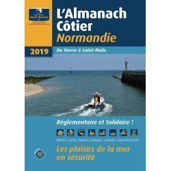
<div class="fiche-txt"><h2>The indispensable tool for the Breton sailor: The Normandy Coastal Almanac 2019</h2><p style="text-align: justify;">A true bible or Swiss Army knife for professional and amateur sailors. The Normandy Coastal Almanac contains all the necessary and indispensable information for the smooth running of your trips in this region. This reference book is very complete since it contains information on many ports <span>of the English Channel as well as meteorological information such as tide times. Much more than a simple navigation guide, this almanac has for main objective to help the families of sailors in need.</span></p><h2>Detailed features of the Normandy coastal almanac</h2></div>
available