available


Detailed features

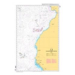
SHOM 7475L folded nautical chart. Centered on the Caribbean Arc area from Puerto Rico to Trinidad. Scale : 1:1000000
- Geodetic system WGS84
- International standards
- Printed on a water-resistant substrate
- With legend and abbreviations
- Issue No. 2, 2012 print run
In the same category
4 other products seleted for you-
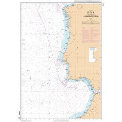
<p style="text-align:justify;">Shom 6624 nautical chart for sailing along the Portuguese and African coasts. Ideal for the sailor who wishes to make a transatlantic crossing.</p>
available

-
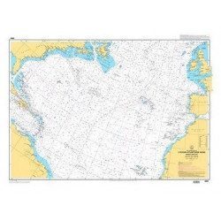
<p style="text-align:justify;">Shom marine chart essential to make a perfect transatlantic by following the great circle.</p>
available
-
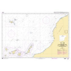
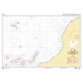
<p style="text-align:justify;">Marine chart shom 7270 for navigations between Casablanca and Cape Jubi, and in the Madeira and Canary Islands area. Ideal for the sailor who wishes to make a transatlantic crossing.</p>
available
-
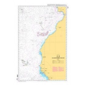
<p>Official SHOM chart - 7212 L - Cape Finisterre to Casablanca - Scale 1: 100000</p>
available