available


In the same category
4 other products seleted for you-
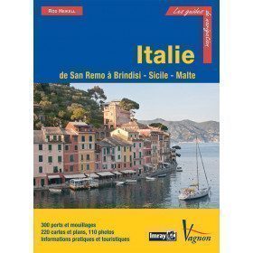
<p>Guide from the prestigious English publishing house IMRAY, a world reference in the field of marine cartography. This guide covers the areas of Italy: From San Remo to Brindisi, Sicily and Malta. Edition of 03/12/2012</p>
available


-
<div class="fiche-txt">
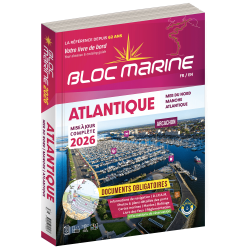
<h2>Indispensable on board your boat: the Atlantic 2025 marine block</h2>
<p style="text-align:justify;">The Atlantic 2024 Marine Block is no longer available. This book contains all the compulsory and regulatory elements on board a boat and offers you access to all the essential documents on board. For this edition, a complete update of the mandatory 2025 regulations has been carried out and you will find <span>in addition </span><span>a special section devoted to new technologies: "electronics - equipment - home automation".</span><span>. </span>Browse the descriptions of the ports and benefit from all the updated approach charts (these are made every year according to the SHOM information). This marine guide allows you to save precious time in order to arrive at the port in complete serenity. A real bible for sailors and yachtsmen, it contains essential information for coastal and deep-sea navigation.</p>
<h2>The marine block for the Atlantic : a navigation area from England to the Azores</h2>
<p style="text-align:justify;">Your marine block allows you to carry all the nautical documents required on board during your navigations. The Atlantic model (new edition 2022) is a great classic of the maritime bookshop and a reference book for sailors. Find our entire collection of coastal and marine pads on our Picksea shop, number one in nautical equipment on the internet.</p>
<h2>Detailed summary of the Atlantic 2025 Marine Block</h2>
</div>
available
-
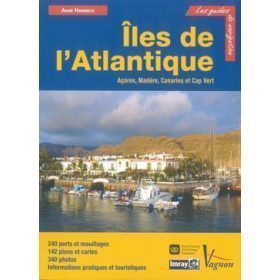
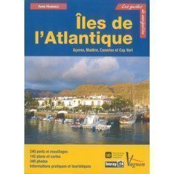
<p>Guide from the prestigious English publishing house IMRAY, a world reference in the field of marine cartography. This guide covers the Azores, Madeira, the Canaries and Cape Verde.</p>
available
-
<h2>Prepare your navigation with this navigation guide!</h2>
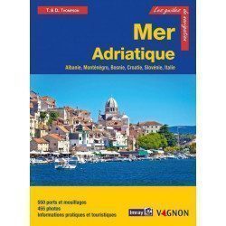
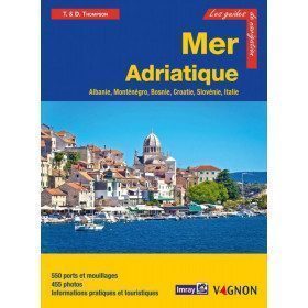
<p>This navigation guide: "Adriatic Sea - Albania, Montenegro, Bosnia, Croatia, Slovenia, Italy" describes the ports, marinas and numerous anchorages in detail. The presentation of this navigation guide is clear and detailed, with many photos to complement the maps and plans.</p>
<p>For each port, island or bay: description (location with waypoint, hazards, lights, maps, radio contacts, harbourmaster's office), cartography, approach (day and night), mooring and anchorage, equipment and services, shore visits, history.</p>
<p>The guide covers the coasts of Albania, the Dalmatian coast, the coasts of Montenegro, Croatia and Slovenia, and the east coast of Italy from the Slovenian border to Santa Marica di Leuca.</p>
<h2>Detailed features of the Channel Islands Sailing Guide</h2>
available