available

In the same category
4 other products seleted for you-
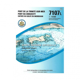
<p>SHOM marine chart 7107L : Harbour of la Trinité-Sur-Mer, harbour of Le Crouesty, entrée du Golfe du Morbihan. Scale 1:10000</p>
available
-
<div class="fiche-txt">
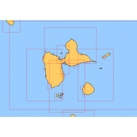
<h2>Choose in the list below a marine map of the surroundings of Guadeloupe</h2>
<p style="text-align:justify;">These SHOM charts cover all the navigation areas around Guadeloupe: from the Saintes to Marie-Galante and la Désirade as well as the Petit and Grand Cul de Sac Marin and the leeward coast, Saint François and Sainte Anne. If you need to reach Pointe à Pitre and the Gosier marina, you should choose the map of the Pointe a Pitre roadstead and the salt river. The Shom L type charts are more adapted to the yachtsman because they are folded in A4 format and thus easier to store in a chart table. They detail precisely the navigation areas of the coasts and islands surrounding Guadeloupe. To order, choose from the list below the area you wish to explore by referring to the map number associated with the desired navigation area. Indicate the map number you have chosen and the option "folded" or "flat".</p>
<h2>List of chart references and areas covered:</h2>
</div>
available

-
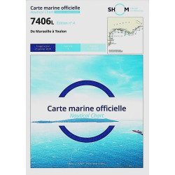
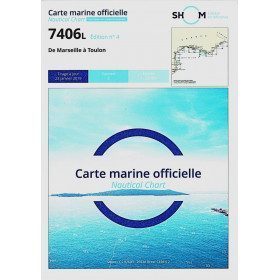
<h2>The SHOM 7406 L chart is the marine chart from Marseille to Toulon.</h2>
<p>Area covered: Marseille South, Cassis, Archipelago of Riou, La Ciotat, Bandol, Toulon. Scale 1/50000.</p>
<h2>Characteristics of the SHOM 7406L chart (folded version)</h2>
available
-
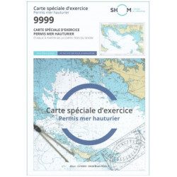
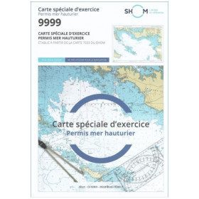
<h2 style="text-align:justify;">SHOM chart 9999 for the french offshore licence exam</h2>
<p style="text-align:justify;">The SHOM chart 9999 is the official chart for the offshore licence examination which allows you to navigate beyond 6 miles from a shelter. The 9999 chart is also used to do all the exercises to prepare for the exam.</p>
<h2 style="text-align:justify;">Training and preparation for the french offshore licence (theory test)</h2>
<p style="text-align:justify;">After passing the coastal licence (and perhaps also the inland waterway licence), you want to extend your navigation area to the "high seas"! To do this, you need to obtain a offshore licence to sail motorboats beyond 6 miles from a shelter (it is also very useful for sailing boats). You can read the article <a href="https://www.picksea.com/en/actualites-et-conseils/post/18-all-knowing-pass-license-holder">"Everything you need to know about the offshore licence"</a>.</p>
<p style="text-align:justify;">The chart 9999 is the official chart to take the offshore licence exam. Of course, this SHOM 9999 chart also allows you to work on all the exercises and mock exams in your school boat or as an independent candidate, to prepare for the tests for the offshore extension of the sea boat licence.</p>
<p style="text-align:justify;">The SHOM 9999 chart is a special marine chart but it contains all the information of a real navigation chart (scale of latitudes and longitudes, coasts, probes, dangers, beacons, lighthouses, currents, ...). You can plot routes and bearings and position points, or measure distances as on a real chart. See the article <a href="https://www.picksea.com/en/actualites-et-conseils/post/49-determine-route-direction-distance">"Determining a route in direction and distance" on our blog</a>.</p>
<p style="text-align:justify;">The SHOM (Services Hydrographique et Océanographique de la Marine) is the public organisation in charge of collecting data (soundings, currents, coastline, ...) and distributing this information, in particular in the form of nautical charts. Find here all our other SHOM charts.</p>
<h2 style="text-align:justify;">Characteristics of the SHOM 9999 Special Offshore Exam Chart</h2>
available