


Distances on the chart are measured using the latitude scale, which is the scale on the left and right sides of the chart. This is usually done with a tool called a divider, but some people prefer to use a graduated ruler
Why is the latitude scale used?
The subdivisions of degrees of latitude are called"minutes". Each minute has a distance on the map equivalent to 1 nautical mile, regardless of the scale of the map
Why is one minute of latitude equal to 1 mile?
The earth's circumference being (roughly!) circular, it comprises 360°. Each degree is divided into 60'. Consequently, the tour of the earth is 360 x 60' = 21600' The tour of the earth is also 40000 km. If we divide 40,000 km by 21,600' we get 1.852 km or 1 nautical mile
To be even more precise in the measurement, we subdivide the minutes and therefore the miles into tenths: one tenth of a mile is called a"cable" and is worth 185 metres.
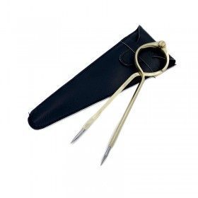
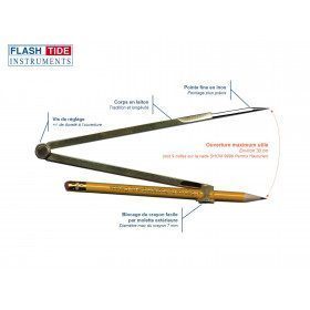
How to measure a distance with the dry point compass?
The example below shows you how to do it
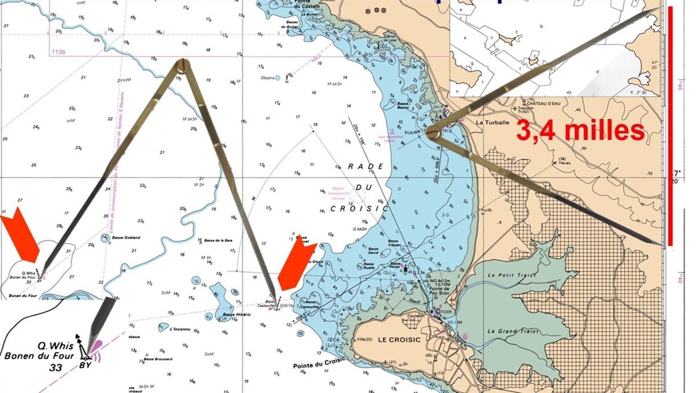
Measure the distance in nautical miles between the North Cardinal Bonen du Four and the West Cardinal Basse Castouillet:
- Point to the Bonen du Four beacon symbol, making sure to do so on the small circle positioned at the base of the symbol, which indicates precisely where the beacon is located. Move the other leg of the compass to point to the Basse Castouillet beacon symbol.
- Transfer the distance to the latitude scale on the right or left side of the map.
- Count the number of minutes of latitude which will indicate the number of nautical miles. For distances less than 1 mile, subdivisions are determined in tenths of a mile. The distance calculated between Bonen du Four and Basse Castouillet is 3.4 miles.
Find the explanations in video below
Linked products