

available


In the same category
4 other products seleted for you-
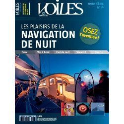
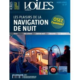
<h2>Dare the adventure of night sailing thanks to the wise and learned advice of Jean-Louis Guéry</h2>
<p>For many yachtsmen, night sailing is still forbidden, because it is too frightening, too risky or too mysterious. But we must beware, because if the yachtsmen who have not yet dared to sail under the stars knew all the pleasures and advantages that can be gained, they would have already cast off and sent the canvas!</p>
<p>That's the world we're taking you into with this new special edition. We give you all the advice you need to sail safely, teach you how to recognise lighthouses, help you to navigate properly, and invite you to avoid the traps of other boats and their little headlights that waddle under the pale, icy light of the moon. A special edition that gives you a clear idea of which route to take. You will also learn about the marvellous world of the stars and the stars that enchant these nocturnal navigations.</p>
<p>This special issue is also very practical and will introduce you to all the latest equipment that is essential for the boat and its crew. So why not make your nights even more beautiful than your days? It's up to you to cast off the canvas, we've lit up the stars!</p>
<h2>Features</h2>
unavailable

-
<div class="fiche-txt">
<h2>The famous Imray work along the Cantabrian coast</h2>
<p>A guide from the prestigious English publishing house IMRAY, a world reference in the field of marine cartography. This guide covers the areas from the south-west of France to the north Spanish coast. You can only be amazed by the beauty of the photos and the accuracy of the information given.</p>
<h2>Detailed features of the Imray Cantabrian Coast Guide</h2>
</div>
available

-
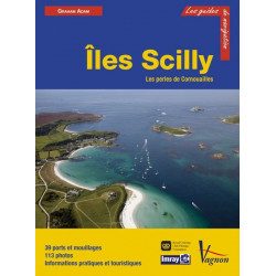
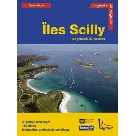
<h2>Prepare your navigation with this navigation guide!</h2>
<p>This sailing guide: "The Scilly Islands - Pearls of Cornwall" describes in detail the ports, marinas and numerous anchorages. The presentation of this sailing guide is clear and detailed, with many photos to complement the maps and charts.</p>
<p>For each port, island or bay: description (location with waypoint, hazards, lights, maps, radio contacts, harbour master's office), cartography, approach (day and night), mooring and anchorage, equipment and services, shore visits, history.</p>
<h2>Detailed features of the Isles of Scilly Navigation Guide</h2>
available
-
<div class="fiche-txt">
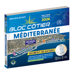
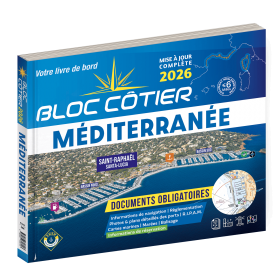
<h2>Indispensable for sailing within 6 miles of a shelter: the Mediterranean 2025 Bloc Cotier</h2>
<p style="text-align:justify;">The Mediterranean 2025 Bloc Cotier is a smaller work than the Marine block, bringing together all the compulsory and regulatory elements on board a boat for coastal sailing, i.e. within 6 miles of a shelter according to the regulations in force. It offers you wider access to all the essential documents on board, such as port descriptions and updated charts. With even more photos, the coastal block also includes a complete atlas. The mandatory 2025 regulations have also been completely updated.</p>
<h2>Detailed summary of the Mediterranean Coastal Block 2025</h2>
</div>
available



 •
•