available


Detailed features

Baltic Sea Offshore Marine Chart
The NV Pilot 1 offshore chart covers the Baltic Sea area from Kiel to Oslo on the front and the area from Skagerak (Flekkefjord) to Helsinki on the back.
Details on the NV Pilot 1 - Baltic Sea map
The offshore chart NV Pilot 1 covers the Baltic Sea the area from Kiel to Oslo on the front and the area from Skagerak (Flekkefjord) to Helsinki on the back.
This range of charts has been published by NV-Charts in order to be able to plan a cruise or a crossing a range of charts under the name NV. Pilot.
These are double-sided folding paper maps with road maps at scales ranging from 1:1,150,000 to 1:750,000. These maps cover a large area and do not contain details.
All maps contain important traffic lights as well as distances between potential stopovers.
In the same category
4 other products seleted for you-
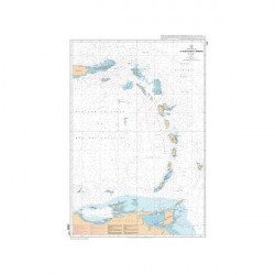
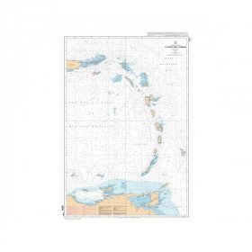
<p style="text-align:justify;">SHOM 7475L folded nautical chart. Centered on the Caribbean Arc area from Puerto Rico to Trinidad. Scale : 1:1000000</p>
available
-
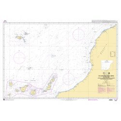
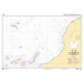
<p style="text-align:justify;">Marine chart shom 7270 for navigations between Casablanca and Cape Jubi, and in the Madeira and Canary Islands area. Ideal for the sailor who wishes to make a transatlantic crossing.</p>
available
-
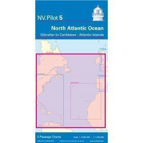
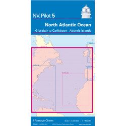
<h2>North Atlantic Offshore Marine Chart | Transatlantic</h2>
<p><span>The NV Pilot 5 offshore chart covers the North Atlantic from Europe to the Caribbean and on the reverse side, an area covering the Atlantic islands: Cape Verde Islands, Canary Islands, Madeira and Azores. The ideal map to prepare a transatlantic voyage.</span></p>
<h2>Details on the NV Pilot 5 map - North Atlantic | Transatlantic</h2>
available

-
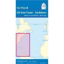
<h2>Offshore Caribbean and East Coast of America Marine Chart</h2>
<p style="text-align:justify;">The NV Pilot 6 offshore chart covers: on the front, the Caribbean with the Bahamas, the Caribbean, the North Coast of South America, Panama, the East Coast of the USA and on the back, the East Coast of the USA from Nova Scotia to Florida and Bermuda.</p>
<h2>NV Pilot 6 Map Details - Caribbean and Eastern Seaboard</h2>
available