

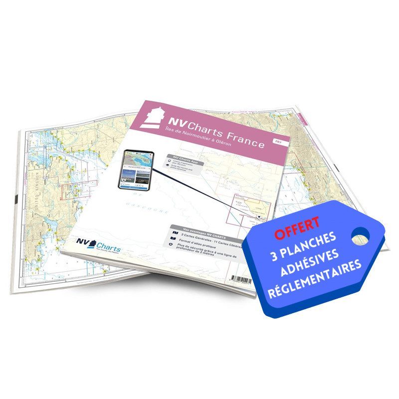


NV-CHARTS FR7 - 27 Vendée Nautical Charts (Noirmoutier to La Rochelle) + 3 regulatory adhesive sheets

€64.90 Tax included
Detailed features
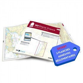
NV-CHARTS FR7 - 27 Vendée Nautical Charts (from Noirmoutier to La Rochelle) + the 3 statutory adhesive sheets
In this NV-Charts FR7 pack, you will find an Atlas of 27 charts Vendée from Noirmoutier to La Rochelle including 3 offshore charts, 12 coastal charts and 12 detailed charts. With a personal download code, you will have access to all the maps in digital format as well as the NV Graphical Navigator light navigation software both freely usable on PC, tablets or smartphone!
The areas represented are: Vendée - Noirmoutier, Ile d'Yeu, Saint Gilles Croix de Vie, Les Sables d'Olonne, Port Bourgenais, Jard sur Mer, Pointe de l'Aiguillon, Ile de Ré, La Rochelle (FRANCE).
Free with your FR7 pack: 3 adhesive sheets containing the mandatory regulatory documentation (RIPAM, buoys and flags) for navigation in coastal areas (art 242-2.04 of Division 240). When you buy your pack, you have all the regulatory documentation for sailing within 6 miles of a shelter.
Description of the FR7 card pack
- Bound with staples and in a sturdy transparent pocket (A3/A2 format).
- 3 adhesive boards (A5 format)
- Free download of NV Navigator Light software
NV-Charts is a German publisher that has designed and developed a card pack concept that combines the traditional paper form with modern electronics.
The concept is to propose for the navigation area from Noirmoutier to La Rochelle in the same pack paper charts at different scales (from the map of the area covered to the detailed maps of the ports) and the same charts in electronic format that can be used with the NVapp application, i.e. the navigation software of NV-Charts, whose standard version (sufficient for pleasure boating) is free and can be used on any support (Windows, Android, MacOS or Iphone)
In the same category
4 other products seleted for you-
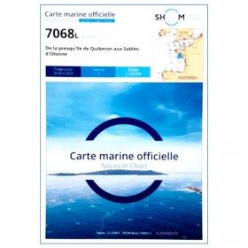
<p style="text-align:justify;">Shom 7068 navigation chart for cruising between Quiberon and Les Sables d'Olonne. Scale: 1:162400</p>
available
-
available
-
<h2>NV-CHARTS FR8 - 33 Aquitaine Marine Charts (from La Rochelle to San Sebastian) + the 3 regulatory adhesive sheets</h2>
<p><span style="font-size:10pt;">In this NV-Charts FR8 pack, you will find an Atlas of <span>33 Aquitaine charts from La Rochelle to San Sebastian including 3 offshore charts, 15 coastal charts and 15 detailed charts</span>. With a personal download code, you will have access to all the maps in digital format as well as the <strong>NV Graphical Navigator light navigation software</strong> both freely usable on PC, tablets or smartphone!</span></p>
<p><span style="font-size:10pt;">The areas represented are: <strong>Aquitaine - La Rochelle, Ré, Oléron, Rochefort, Royan, Gironde, Bordeaux, Arcachon, Bayonne, Biarritz, Saint Jean de Luz, San Sebastian (FRANCE)</strong></span></p>
<p><span style="font-size:10pt;"><span style="color:#ff0000;"><strong>Free with your FR8 pack:</strong> </span>3 adhesive sheets containing the mandatory regulatory documentation (RIPAM, buoys and flags) for navigation in coastal areas (art 242-2.04 of Division 240). <span style="color:#ff0000;"><strong>When you buy your pack, you have all the regulatory documentation for sailing within 6 miles of a shelter.</strong></span></span></p>
<h2>Description of the FR8 card pack</h2>
available
-
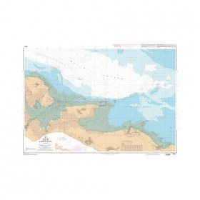
<p>Nautical chart for navigations around the Ile de Ré. SHOM 7404 L - From Pointe du Grouin du Cou to Pointe de Chassiron</p>
available





 •
•