available


Detailed features

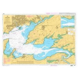
Marine chart for coastal navigation. SHOM 6966L - Des Héaux-de-Bréhat au Cap Lévi - Shom paper chart - Scale : 1 : 155508
Folded format (A4): 21 x 29.7 - Unfolded format (A0): 84.1 cm x 118.9 cm.
The SHOM has adopted a medium whose main characteristic is its resistance to use in a humid environment (rain, sea spray), while preserving the ease of writing and deleting personal navigation information (plot of the point, route layout, etc.). This support is a paper loaded with latex, which gives it a good resistance to folding, even when wet. This resistance to water is not unlimited, but allows to obtain a chart with a correct life span.
In the same category
4 other products seleted for you-
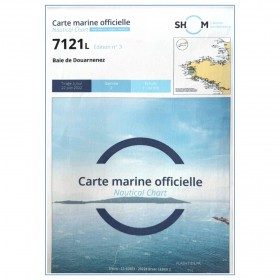
<p>Marine chart for coastal navigation. SHOM 7121 - Douarnenez Bay - scale 1:30000. Available in folded A4 format or in unfolded A0 format</p>
available


-
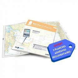
<h2>NV-CHARTS FR4 - 33 West Brittany Marine Charts (from the Seven Islands to Douarnenez) + the 3 regulatory adhesive sheets</h2>
<p><span style="font-size:10pt;">In this pack NV-Charts FR4, you will find an Atlas of 33 nautical charts from the Seven Islands to Douarnenez<span> including 2 offshore maps, 13 coastal maps and 18 detailed maps</span>. With a personal download code, you will have access to all the maps in digital format as well as the <strong>NV Graphical Navigator light navigation software</strong> both freely usable on PC, tablets or smartphone!</span></p>
<p><span style="font-size:10pt;">The areas represented are: <strong>Western Brittany - Roscoff, Morlaix, Ouessant, Molène, Brest, Camaret, Crozon, Morgat, Douarnenez, Sein (FRANCE).</strong></span></p>
<p><span style="font-size:10pt;"><span style="color:#ff0000;"><strong>Free with your FR4 pack:</strong></span> 3 adhesive sheets containing the mandatory regulatory documentation (RIPAM, buoys and flags) for navigation in coastal areas (art 242-2.04 of Division 240). <span style="color:#ff0000;"><strong>When you buy your pack, you have all the regulatory documentation for sailing within 6 miles of a shelter.</strong></span></span></p>
<h2>Description of the FR4 card pack</h2>
available
-
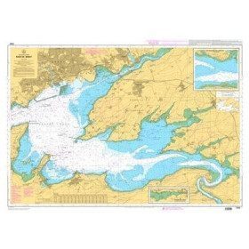
<p>Marine chart for coastal navigation. SHOM 7400 L - Rade de Brest - Scale 1:22500</p>
available
-
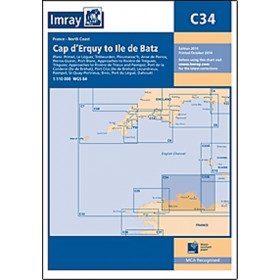
<h2 style="text-align:justify;">Imray C34 marine chart Cap d'Erquy to Ile de Batz </h2>
<p style="text-align:justify;">For this 2014 edition, the chart has been fully updated. Revised depths have been applied where necessary and the accuracy of the position relative to the WGS84 datum has been improved. The plan of the Port du Légué has been replaced with a plan to the correct scale.</p>
<p style="text-align:justify;">Plans included:</p>
<ul><li>Primel (1:15 000)</li>
<li>Le Léguer (1:42 500)</li>
<li>Trébeurden (1:25 000)</li>
<li>Ploumanac'h (1:10 000)</li>
<li>Anse de Perros (1:30 000)</li>
<li>Perros-Guirec (1:15 000)</li>
<li>Port-Blanc (1:25 000)</li>
<li>Approaches to the River of Tréguier (1:45 000)</li>
<li>Tréguier (1:15 000)</li>
<li>Approaches to the River Trieux and Paimpol (1:50 000)</li>
<li>Port de la Corderie (Ile de Bréhat) (1:15 000)</li>
<li>Port Clos (Ile de Bréhat) (1:10 000)</li>
<li>Lézardrieux (1:15 000)</li>
<li>Paimpol (1:15 000)</li>
<li>St-Quay-Portrieux (1:25 000)</li>
<li>Binic (1:12 500)</li>
<li>Port du Légué (1:20 000)</li>
<li>Dahouët (1:10 000)</li>
</ul><h2 style="text-align:justify;">Characteristics of the Imray C34 marine chart Cap d'Erquy to Ile de Batz </h2>
unavailable