

available


In the same category
4 other products seleted for you-
<div class="fiche-txt">
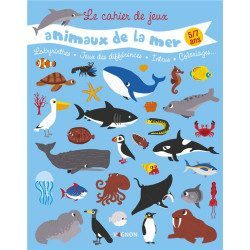
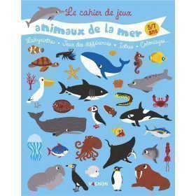
<h2>Les animaux de la mer Playbook 5/7 years old from Vagnon</h2>
<p>A book of 38 games and activities for 5/7 year olds on the theme of marine animals: illustrations, varied and amusing games, logic games and colouring. A book full of discoveries!</p>
<h2>In this book</h2>
</div>
available

-
<div class="fiche-txt">
<h2>The International Regulations for Preventing Collisions at Sea. </h2>
<p>This book will help you to know the international regulations to prevent collisions at sea (or RIPAM in french). <span>This document contains all the rules set out in the International Regulations for Preventing Collisions at Sea, 1972, as amended from time to time.</span></p>
<h2>All the Shom's regulatory works on our website</h2>
You can find on Picksea.com all the regulatory books of the Shom, like the good uses of the nautical documents 1F, or the book on the maritime signalling 3C.</div>
available
-
<div class="fiche-txt">
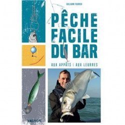
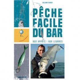
<h2>Bass fishing with bait and lures</h2>
<p>Of a very pragmatic approach, this guide written by a young but already great specialist known by the media, goes to the essential and presents a detailed chapter on the hope (habitat, reproduction, food, behavior...) and all the techniques of fishing (of the edge or in boat). You will also find the presentation of the material to be used as well as the regulation concerning the practice of this fishing.</p>
<p>Widely illustrated with photos and diagrams, this manual will help you understand everything you need to know to practice this emblematic fishery.</p>
<h2>Picksea specialist of the sea, its seabed, and fishing!</h2>
<p>Picksea has established itself as a leader in nautical equipment but also in documentation, with specialized books according to your desires and passions. Diving, boating, boating licenses, or fishing.</p>
<h2>Features</h2>
</div>
available
-
available


 •
•