
€70.90 Tax included
-
Livraison en points relais : Gratuit
Detailed features

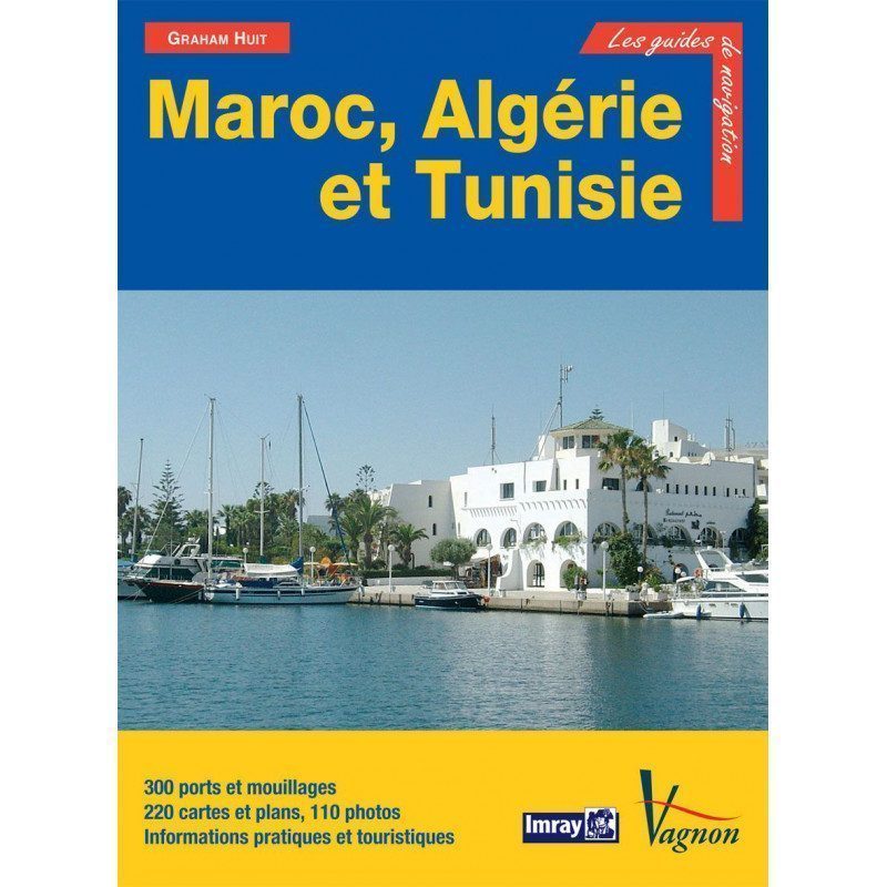
Guide from the prestigious English publishing house IMRAY, a world reference in the field of marine cartography. This guide covers Morocco, Algeria, Tunisia, Gibraltar, Libya, Pantelleria, the Pelagie Islands and Malta. Edition of 03/12/2012
- 208 pages. Format: 21 x 29,7 cm
- Edition of 03/12/2012
Morocco: In addition to the small traditional fishing ports, there are also large modern ports and marinas that provide good shelter and it is now possible and very pleasant to sail the entire coast of Morocco without having to spend a single night at sea. The Atlantic coast provides access to a fascinating hinterland, with the most beautiful monuments of the Maghreb.
Algeria: You can now visit the country safely and enjoy the many small ports and anchorages nestled in a superb and tranquil setting. You will find great hospitality almost everywhere, once the formalities have been completed.
Tunisia: A popular tourist destination, Tunisia offers the yachtsman, in addition to its varied landscapes and famous beaches, a good network of marinas where he can winter his boat and have repairs carried out at the lowest cost. Beautiful fore and aft seasons allow to extend the sailing season by taking advantage of a still mild climate and one will have the choice between little frequented anchorages, small fishing ports or marinas. 204 ports and anchorages, 218 photographs, 206 plans and maps.
Download
-
Morocco, Algeria and Tunisia - Maroc, Algérie et Tunisie_en
In the same category
4 other products seleted for you-
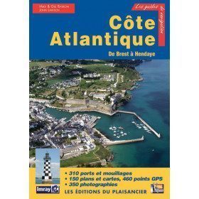
<p>Guide from the prestigious English publishing house IMRAY, world reference in the field of marine cartography. This guide covers the areas from Brest to Hendaye. </p>
unavailable

-
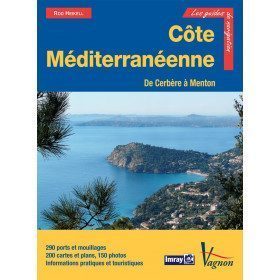
<p>New edition of the famous IMRAY Guide to the Mediterranean coast. This guide covers the areas from Cerbére to Menton. July 2013 edition</p>
unavailable

-
<h2>Prepare your navigation with this navigation guide!</h2>
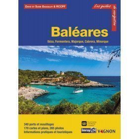
<p>This sailing guide: "Balearic Islands - Ibiza, Formentera, Mallorca, Cabrera, Menorca" describes the ports, marinas and numerous anchorages in detail and with precision. The presentation of this navigation guide is clear and detailed, with many photos to complement the maps and plans.</p>
<p>For each port, island or bay: description (location with waypoint, hazards, lights, maps, radio contacts, harbour master's office), cartography, approach (day and night), mooring and anchorage, equipment and services, visits on land, history.</p>
<p>This guide covers the coasts of Ibiza, Formentera, Majorca, Cabrera and Menorca.</p>
<h2>Detailed features of the Balearic Sailing Guide</h2>
available

-
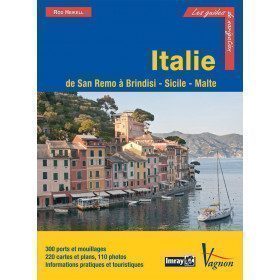
<p>Guide from the prestigious English publishing house IMRAY, a world reference in the field of marine cartography. This guide covers the areas of Italy: From San Remo to Brindisi, Sicily and Malta. Edition of 03/12/2012</p>
available


