available


Detailed features

Learn to cook at sea like a chef!
This cooking guide explains how to set up a boat kitchen, but it also contains a multitude of generous recipe ideas that will delight your taste buds, such as cgrilled coconut rabe, barbecued lobster but also thesoft spinach flanks, fried potatoes. In short, there is something for everyone!
Features of the Onboard Cooking Guide
- 280 pages
- Format: 16 x 24 cm
In the same category
4 other products seleted for you-
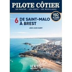
<h2>This Bénéteau Coast Pilot is truly the most useful nautical document on board a cruising boat after the nautical charts.</h2>
<p>It is often said that sailors who frequent the coasts of North Brittany never feel in real difficulty anywhere else on the seas of the globe. This is probably a little excessive but it is certain that these jagged shores, with rocks jagged by the harsh storms, where the channels are sometimes not wide enough to cross, where the tidal range which increases rapidly towards the East reaches in the bay of St Malo, a frightening record of 13.5 m, creating violent currents which raise dangerous breakers against the slightest swell, all these difficulties require from the navigators a perfect knowledge of the channels, of the alignments of the shoals, if one wants to discover all the small beaching ports which nestle in the bays, the creeks, the rias of these difficult shores. This is where the Pilote Côtier Bénéteau from Saint Malo to Brest proves to be invaluable with the multitude of information it has gathered from hundreds of professional sailors who are familiar with these areas.</p>
<h2>Features</h2>
available

-
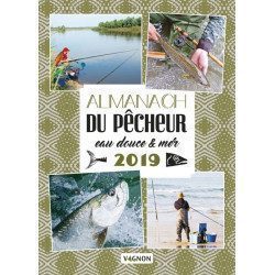
<h2>Fishermen, stay up to date!</h2>
<p><span>With the Almanac de la pêche en eau douce et en mer, discover seasonal activities: techniques and objects from yesterday and today, tasty anecdotes, tips and tricks from experts, points on regulations, good fishing spots, ecological advice, focus on fish. Not forgetting: quizzes, gourmet recipes, unusual news, portraits of fishermen...</span></p>
<p>You can browse through the pages by clicking on this link: <span style="color:#3366ff;"><a href="https://issuu.com/feuilletagefleurus/docs/9791027102174_ext" target="_blank" rel="noreferrer noopener"><span style="color:#3366ff;">https://issuu.com/feuilletagefleurus/docs/9791027102174_ext</span></a></span></p>
<h2>Features of the freshwater & marine angler's almanac 2019</h2>
available
-
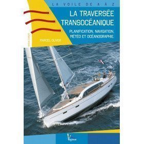
<h2>Prepare your Atlantic crossing</h2>
<p><span>This is a very practical guide for experienced boaters wishing to cross the Atlantic. You will find planning, meteorology and oceanography... A unique book on the market, which adventurous sailors are eagerly awaiting! It also includes examples of routes to the West Indies.</span></p>
<h2>Features of the guide : The trans-oceanic crossing.</h2>
available

-
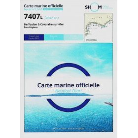
<h2>SHOM chart 7407 L is the nautical chart of Toulon Cavalaire sur Mer</h2>
<p>Area covered: Toulon, Saint Mandrier, Le Pradet, Port Cros, Porquerolles, Hyères, Le Lavandou. Scale 1/50200.</p>
<h2>Characteristics of the map 7407L (folded version) </h2>
available