
available

Detailed features

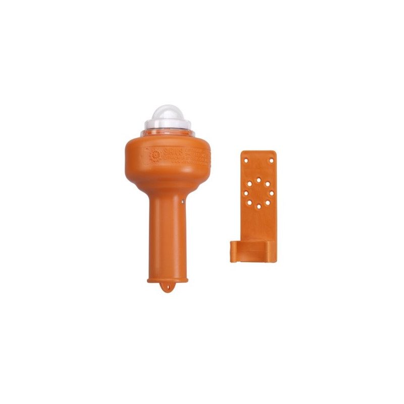
A floating light that lights up when it comes into contact with sea water
This lithium float light is LED powered, which significantly increases its life span due to its low power consumption. The built-in lithium battery has a life of 5 years and is encased in polyurethane foam with the circuitry to prevent oxidation.
When you need to use this floating light, simply throw it into the sea and it will automatically light up when it comes into contact with water.
Detailed characteristics of the Plastimo lithium-LED floating light
- 2 hours operating time
- Lifetime of the integrated lithium battery
- Diameter: 10 cm, Height: 22 cm
- Delivered with a stand and a 2.65 m cord
In the same category
4 other products seleted for you-
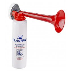
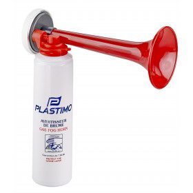
<h2><span>Foghorn to warn boats around you</span></h2>
<ul><li><span>Volume: 115 dB at 2 meters</span></li>
<li><span>Protects the ozone layer</span></li>
<li><span>Operates on liquefied gas at the touch of a finger</span></li>
<li><span>Clip-on cartridge</span></li>
<li><span>Regulatory</span></li>
<li><span>Capacity 200ml</span></li>
<li><span>Non-flammable gas</span></li>
</ul>
available
-
<div class="fiche-txt">
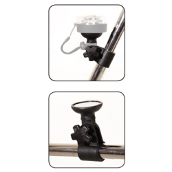
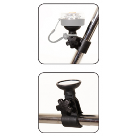
<h2>Rail mount for 360° navigation light</h2>
<p>This rail mount has been designed to fit <a href="/fr/equipement-du-bateau/accessoires-de-navigation-bateau/feux-de-navigation/feu-de-navigation-360-aimante-navisafe-24566.html"><strong>360° navigation lights</strong></a>always by<strong> Navisafe</strong>. The quality, flexibility and ease of use of Navi's products have been proven to be innovative and practical.</p>
<h2>Characteristics of this support</h2>
</div>
available

-
<div class="fiche-txt">
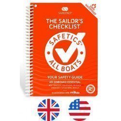
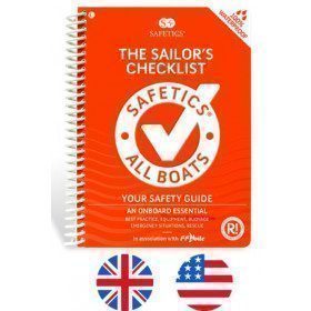
<h2>The Safetics safety guide english version : Sailboats and Motors</h2>
<p style="text-align:justify;">Safetics® The Sailor’s Checklist is the first English-language navigation guide written in the form of aviation-style check-lists. Recommended by Coast guards and translated and adapted by English skipper Pip Hare, it compiles all major navigation rules as well as procedures validated by sea safety experts. Its universal and practical content has been designed for both skippers and crew members, and is suitable for sailboats and powerboats. Its waterproof and tear proof format allows an unrivalled durability.</p>
<p style="text-align:justify;">This guide is the result of the work of enthusiasts who decided to create a simple and intuitive memo for pleasure boating. Its content is based on official recommendations, as well as on numerous feedbacks and experts' opinions, including in particular that of <strong>Armel Le Cléac'h </strong>a skipper and professional sailor. A real Sailor's Checklist for sailing and motor boats.</p>
<h2>Features of the Safetics Sailing Guide: Sailor's Checklist</h2>
</div>
available
-
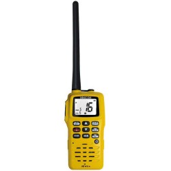
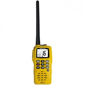
<h2>Navicom handheld VHF RT411+ 6W </h2>
<p>The Navicom RT411+ handheld VHF is the best selling portable VHF. It is very easy to use, compact, robust and reliable. It will accompany you in all your navigations! Waterproof IPX6 and floating, it has a battery life of about 12 hours. </p>
<h2><em>Reminder of the French regulations concerning the use of VHF</em></h2>
<p><em>A maritime radio station licence is mandatory, including for a portable VHF. It can be obtained free of charge from the Agence Nationale de Fréquences by logging on to the anfr.fr website</em></p>
<p><em>In French waters (waters bordering the French coastline up to 12 miles from the coast or the French river network), it is not necessary to have a maritime or river CRR (restricted radiotelephone operator certificate)</em></p>
<p><em>It is forbidden to use a VHF on land</em></p>
<h2>Technical features of VHF RT411+ Navicom</h2>
available


 •
•