available


In the same category
4 other products seleted for you-
<div class="fiche-txt">
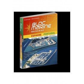
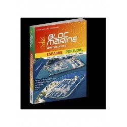
<h2>The essential guide for sailing around Spain and Portugal</h2>
<p>The Spain-Portugal Marine Block is the book to have on board! It allows you to have all the essential and mandatory documents on board your boat. The descriptions of ports and maps are updated every 2 or 3 years and allow you to save precious time to arrive safely and calmly at your destination. In this new edition, which was completely updated in June 2023, the Marine Block docks on the coasts of the Iberian Peninsula: Portugal, Spain, not forgetting the islands with the Balearic Islands, Madeira, the Canaries, the Azores... in total, there are more than 350 ports and as many opportunities for stopovers and cruises in perspective! In addition to general information on regulations, rescue and safety at sea, you will find, for each port, a maximum of information on the installations, the operation and the means of rescue as well as a location map. Several new features are included in this edition: a bilingual French/Spanish book a complete navigation atlas with more than 80 maps detailed plans in WGS84 for almost all the ports hundreds of aerial photos Everything you need to prepare for your navigations with complete peace of mind</p>
</div>
available

-
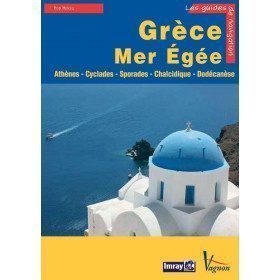
<p>Guide from the prestigious English publishing house IMRAY, world reference in the field of marine cartography. This guide covers the areas of Greece and the Aegean Sea, Athenes, Cyclades, Sporades, Chalkidiki, Dodecanesia. Edition of 23/04/2012</p>
available

-
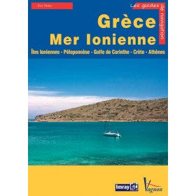
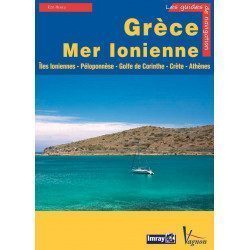
<p>Guide from the prestigious English publishing house IMRAY, world reference in the field of marine cartography. This guide covers the areas of Greece and the Ionian Sea, Ionian Islands, Peloponnese, Gulf of Corinth, Crete, Athens. Edition of 23/04/2012</p>
available
-
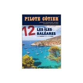
<h2>From the calas of Menorca to the great beaches of Formentera, the essential guide to the Balearic Islands!</h2>
<p>Just a day's sail from the French Mediterranean coast, the Balearic Islands are a dream destination. Four islands which have in common a remarkably sunny climate, moderate summer breezes, easily accessible ports and indented coasts where a multitude of coves, each more beautiful than the next, are hidden. Minorca, the most northerly, is also the wildest. Its real little fjords, the roadsteads of Fornells and Port Mahon, offer well-sheltered waters. Mallorca is more grandiose with a very contrasting coastline, from the impressive cliffs of the west coast to the small coves of the east coast, not forgetting the small pearls that are the islands of Cabrera and Dragonera. Ibiza and Formentera are even more sunny and carefree. If their coves and beaches are an invitation to drop anchor, their harbours are always buzzing with life. All the information you need to sail safely. An indispensable book, in addition to the nautical chart and the GPS.</p>
<h2>Features</h2>
available