

unavailable


Detailed features

Euromarine 12V halogen hand spotlight
It is a 12V halogen spotlight. It has 2,8 meters of cable, the plug is a "cigarette lighter" plug. Its handle is mobile.
Characteristics of the Euromarine 12V halogen hand spotlight
- Length : 10 cm
- Optical diameter: 9.3 cm
- Movable handle
- Halogen bulb 12V-55
In the same category
4 other products seleted for you-
<h2>F4 headlamp, 4 modes, from Plastimo</h2>
<p>The F4 headlamp offers 4 modes of operation, including one in red light . Press and hold for 2 seconds to change modes, change power, or switch to red light for example. Its swivel head and adjustable headband allow for adjustments of your choice. IPX4 waterproof. It is ideal for boating, hiking at dusk. See its performance in the description.</p>
<h2>Characteristics of the Plastimo F4 headlamp</h2>
<p></p>
available


-
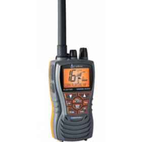
<p>This VHF is ideal for an intensive use. She has numerous properties which by way of her a very attractive VHF. She is floating, tight in the dumping furthermore she in a 6 watt power.</p>
available

-
<div class="fiche-txt">
<h2>Brackets for horizontal or vertical mounting of Navisafe navigation lights</h2>
<p>The Horizontal Navimount is used to attach a Navimount boom or Navisafe navigation light to horizontal surfaces such as a cabin roof or boat deck, while the Vertical Navimount is used to attach your equipment to a vertical surface.</p>
<h2>Features of the Navisafe Navimount RIB</h2>
</div>
available

-
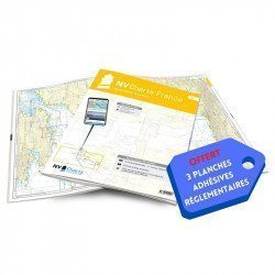
<h2>NV-CHARTS FR9 - 70 Mediterranean Sea charts (from Cap Creus to Toulon) + the 3 regulatory adhesive sheets</h2>
<p><span style="font-size:10pt;">In this NV-Charts FR9 pack, you will find an Atlas of <span>70 Mediterranean charts from Cap Creus to Toulon including 3 offshore charts, 14 coastal charts and 53 detailed charts</span>. With a personal download code, you will have access to all the maps in digital format as well as the <strong>NV Graphical Navigator light navigation software</strong> both freely usable on PC, tablets or smartphone!</span></p>
<p><span style="font-size:10pt;">The areas represented are: <strong>Mediterranean - Port Vendres, Leucate, Canet, Port La Nouvelle, Gruissan, Cap d'Agde, Palavas, Port Camargue, La Grande Motte, Martigue, Carry, Marseille, Calanques, Cassis, La Ciotat, Saint Cyr, Bandol, Toulon (FRANCE)</strong></span></p>
<p><span style="font-size:10pt;"><span style="color:#ff0000;"><strong>Free with your FR9 pack:</strong></span> 3 adhesive sheets containing the mandatory regulatory documentation (RIPAM, buoys and flags) for navigation in coastal areas (art 242-2.04 of Division 240). <span style="color:#ff0000;"><strong>When you buy your pack, you have all the regulatory documentation for sailing within 6 miles of a shelter.</strong></span></span></p>
<h2>Description of the FR9 card pack</h2>
available




 •


